Karađorđe's Park, Belgrade
Map
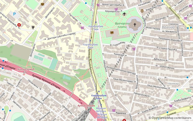
Map

Facts and practical information
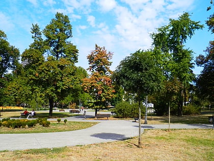
Karađorđe's Park is a public park and an urban neighborhood of Belgrade, the capital of Serbia. While the park itself is located in Belgrade's municipality of Vračar, majority of what is today considered the neighborhood of Karađorđev Park is since 1957 located in the municipality of Savski Venac. ()
Address
Vračar (Neimar)Belgrade
ContactAdd
Social media
Add
Day trips
Karađorđe's Park – popular in the area (distance from the attraction)
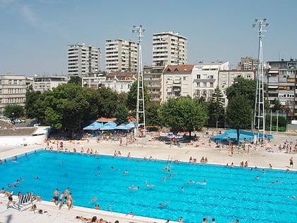
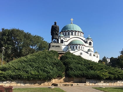
Nearby attractions include: Church of Saint Sava, Tašmajdan Sports and Recreation Center, Red Star Stadium, Karađorđe Monument.
Frequently Asked Questions (FAQ)
Which popular attractions are close to Karađorđe's Park?
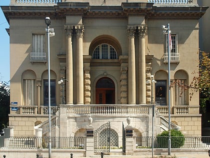
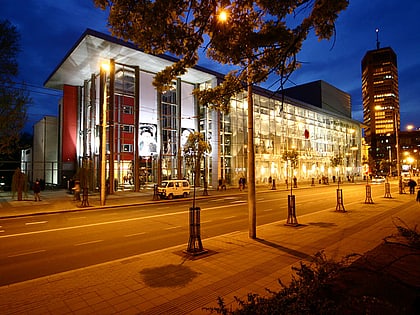
Nearby attractions include Monument to the Insurgents, Belgrade (3 min walk), Vračar, Belgrade (3 min walk), Đorđe Jovanović House, Belgrade (3 min walk), National Library of Serbia, Belgrade (4 min walk).
How to get to Karađorđe's Park by public transport?
The nearest stations to Karađorđe's Park:
Tram
Bus
Train
Trolleybus
Tram
- Карађорђев Парк • Lines: 10, 14, 14L3, 9 (4 min walk)
- Франше Депереа • Lines: 10, 14, 14L3, 9 (6 min walk)
Bus
- Карађорђев Парк • Lines: 30, 31, 33, 36, 39, 401, 402, 42, 47, 48, 59, 78, E9 (4 min walk)
- Трг Славија /Тиршова/ • Lines: 30, 47, 59 (7 min walk)
Train
- Карађорђев парк (4 min walk)
- Belgrade Center (17 min walk)
Trolleybus
- Катанићева • Lines: 19, 21, 22, 29 (10 min walk)
- Мачванска • Lines: 19, 21, 22, 29 (11 min walk)


