Gledić mountains

Gallery (1)
Map
Map
Facts and practical information
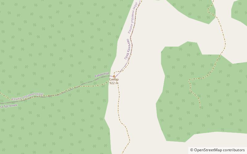
Gledić mountains is a mountain range in central Serbia, between cities of Kragujevac, Jagodina and Trstenik. Its highest peak Samar has an elevation of 922 m above sea level. It is popular with mountain walkers. Of historical, cultural and architectural values are monasteries from the 15th and 16th centuries: Kamenac, Kalenić and Ljubostinja. ()
Location
Pomoravski
ContactAdd
Social media
Add
Day trips
Gledić mountains – popular in the area (distance from the attraction)
Nearby attractions include: Kalenić monastery.
