Gajeva planina
Map
Facts and practical information
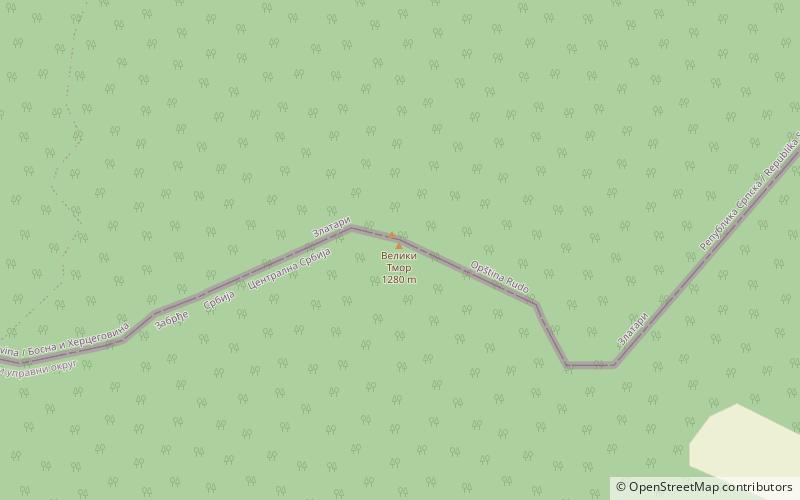
Gajeva planina is a mountain on the border of Serbia and Bosnia and Herzegovina, between towns of Priboj and Rudo. Its highest peak Veliki Tmor has an elevation of 1,280 m above sea level. ()
Elevation: 4199 ftCoordinates: 43°35'25"N, 19°19'56"E
Location
Zlatiborski
ContactAdd
Social media
Add
Day trips
Gajeva planina – popular in the area (distance from the attraction)
Nearby attractions include: Javorje.