Zvornik Lake

Gallery (1)
Map
Map
Facts and practical information
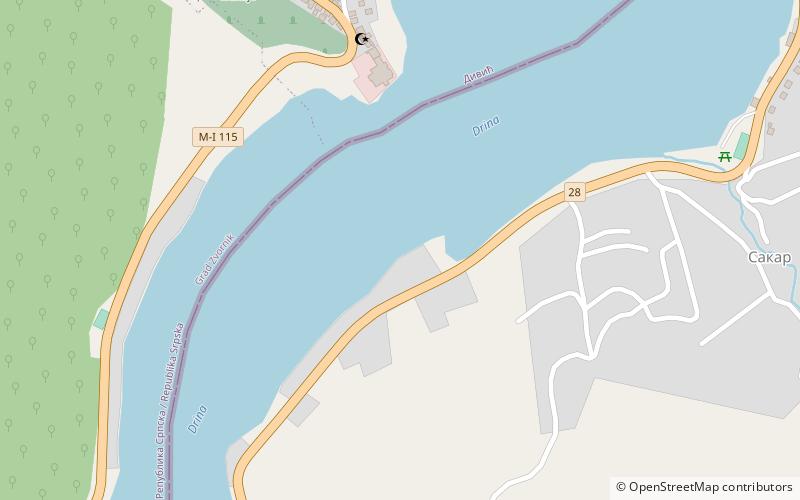
Zvornik Lake is an artificial lake located on the border of Bosnia and Herzegovina and Serbia. It was created after construction of a hydroelectric power station in 1954 on the Drina river. ()
Local name: Зворничко језеро Area: 5.02 mi²Length: 15.53 miWidth: 9843 ftMaximum depth: 128 ftElevation: 515 ft a.s.l.Coordinates: 44°21'34"N, 19°6'50"E
Location
Mačvanski
ContactAdd
Social media
Add
Day trips
Zvornik Lake – popular in the area (distance from the attraction)
Nearby attractions include: Boranja.