Ravna planina
Map
Facts and practical information
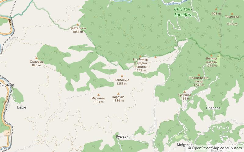
Ravna planina is a mountain in central Serbia, near the town of Vrnjačka Banja. Its highest peak Crni vrh has an elevation of 1,542 meters above sea level. ()
Elevation: 5059 ftCoordinates: 43°31'21"N, 20°46'46"E
Location
Raški
ContactAdd
Social media
Add
Day trips