Jadovnik
Map

Map

Facts and practical information
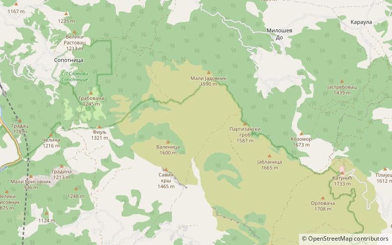
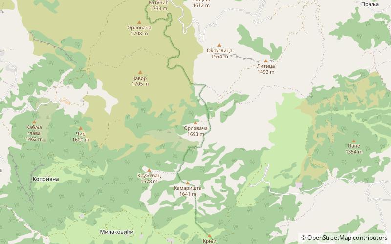
Jadovnik is a mountain in southwestern Serbia, on the western edge of Pešter plateau, between towns of Prijepolje and Sjenica. Its highest peak Katunić has an elevation of 1,734 meters above sea level. ()
Location
Zlatiborski
ContactAdd
Social media
Add
Day trips
Jadovnik – popular in the area (distance from the attraction)
Nearby attractions include: Mileševac Fortress, Ozren, Manastir Davidovica, Jerina's town.


