Žilindar

Map
Facts and practical information
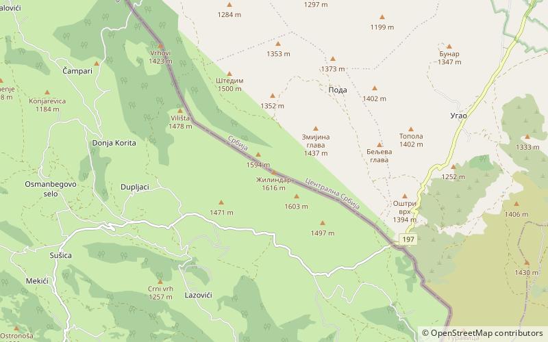
Žilindar is a mountain on the border of Serbia and Montenegro, between towns of Sjenica and Berane, on the central edge of Pešter plateau. Its highest peak Žilindar has an elevation of 1,616 meters above sea level. ()
Local name: ЖилиндарElevation: 5302 ftCoordinates: 43°2'34"N, 20°0'44"E
Location
Zlatiborski
ContactAdd
Social media
Add
Day trips
Žilindar – popular in the area (distance from the attraction)
Nearby attractions include: Hum.
