Jelova gora

Gallery (1)
Map
Map
Facts and practical information
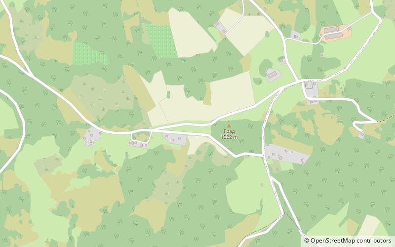
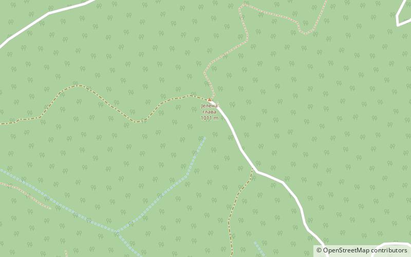
Jelova gora is a mountain in western Serbia, between cities of Užice and Bajina Bašta. Its highest peak Jelenina glava has an elevation of 1,011 meters above sea level. ()
Local name: Јелова ГораElevation: 3317 ftCoordinates: 43°56'59"N, 19°46'27"E
Location
Zlatiborski
ContactAdd
Social media
Add
Day trips