Vlaška planina
Map

Map

Facts and practical information
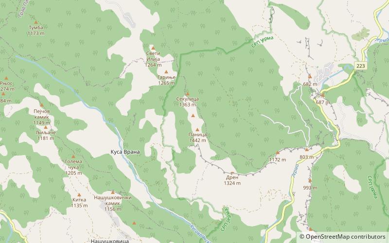
Vlaška planina is a mountain in southeastern Serbia, near the town of Dimitrovgrad. Its highest peak Panica has an elevation of 1,443 meters above sea level. With Greben, Vlaška planina forms the gorge of Jerma river. ()
Local name: Влашка планинаElevation: 4734 ftCoordinates: 42°59'8"N, 22°35'17"E
Location
Pirotski
ContactAdd
Social media
Add
Day trips
Vlaška planina – popular in the area (distance from the attraction)
Nearby attractions include: Poganovo Monastery, Greben Mountain, Golemi stol.


