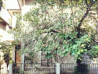
Bogoslovija, Belgrade
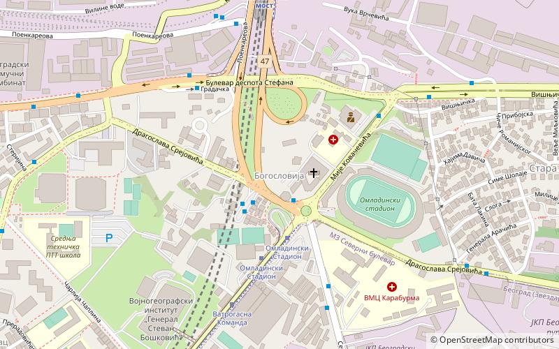
Map
Facts and practical information
Bogoslovija is a Serbian word for a seminary, particularly for secondary schools educating future Orthodox priests. ()
Coordinates: 44°48'57"N, 20°29'27"E
Address
Palilula (Bogoslovija)Belgrade
ContactAdd
Social media
Add
Day trips
Bogoslovija – popular in the area (distance from the attraction)
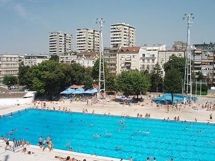
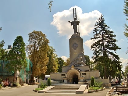
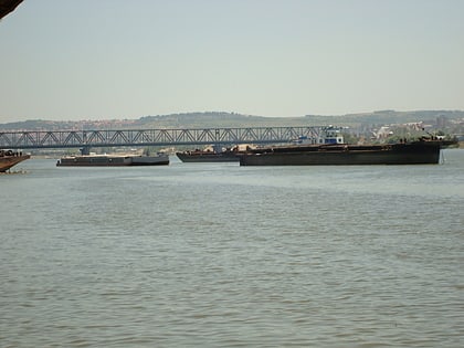
Nearby attractions include: Tašmajdan Sports and Recreation Center, St. Mark's Church, Belgrade New Cemetery, Pančevo Bridge.
Frequently Asked Questions (FAQ)
Which popular attractions are close to Bogoslovija?
Nearby attractions include Karaburma, Belgrade (12 min walk), Belgrade New Cemetery, Belgrade (14 min walk), Hadžipopovac, Belgrade (15 min walk), Memorial Museum of Nadežda and Rastko Petrović, Belgrade (16 min walk).
How to get to Bogoslovija by public transport?
The nearest stations to Bogoslovija:
Bus
Tram
Train
Trolleybus
Bus
- Omladinski Stadium /Izlaz/ • Lines: 101, 104, 105, 106, 108, 111, 202, 35L (2 min walk)
- Omladinski Stadium /Ulaz/ • Lines: 108, 202, 35L (2 min walk)
Tram
- Omladinski Stadium • Lines: 12, 12L2, 14L3 (3 min walk)
- Ватрогасна Команда • Lines: 12, 12L2, 14L3 (8 min walk)
Train
- Панчевачки мост (8 min walk)
- Вуков споменик (26 min walk)
Trolleybus
- Zdravka Celara • Lines: 28, 40 (17 min walk)
- Jase Prodanovica • Lines: 28, 40 (18 min walk)
