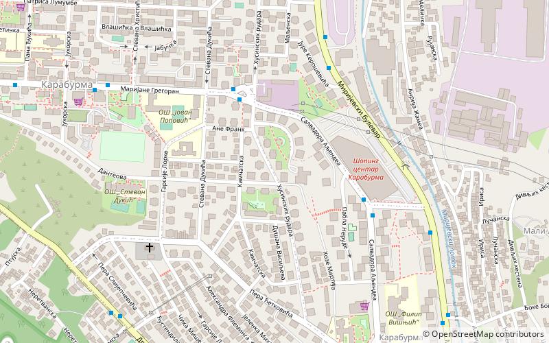
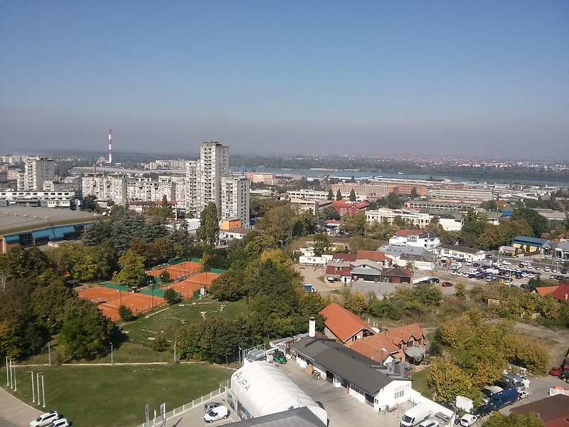
Ćalije, Belgrade
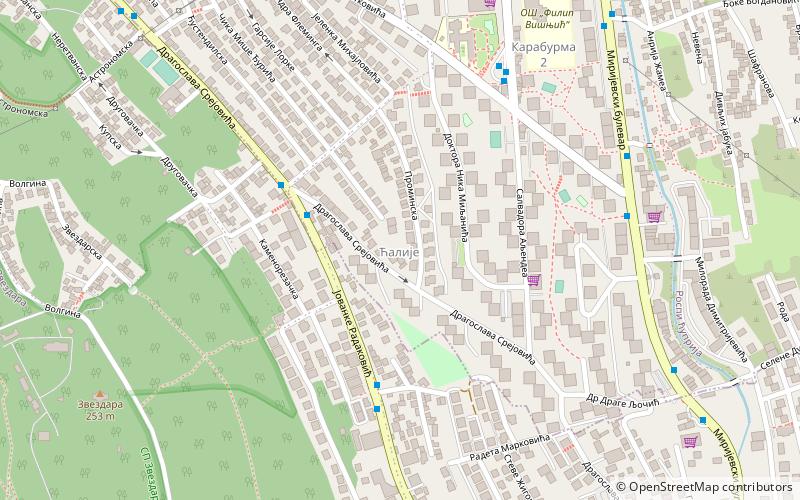
Map
Facts and practical information
Address
Zvezdara (Mirijevo)Belgrade
ContactAdd
Social media
Add
Getting there by public transportation
Public transportation stops near this location
- Bus
- Trolleybus
- Tram
 Bus
Bus
- Calculate routeЋалије 4 min walk
- Calculate routeСиме Тројановића 4 min walk
- Calculate routeКарабурма 2 6 min walk
- Calculate routeПере Ћетковића 7 min walk
- Calculate routeЗвездара 20 min walk
- Calculate routeМилоша Јанковића 23 min walk
- Calculate routeГрадска Болница 27 min walk
- Calculate routeCegarska 31 min walk
- Calculate routeДр Велизара Косановића 25 min walk
- Calculate routeМите Ружића 26 min walk
- Calculate routeПијаца Звездара 28 min walk
Day trips


Frequently Asked Questions (FAQ)
Which popular attractions are close to Ćalije?
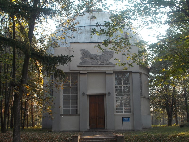
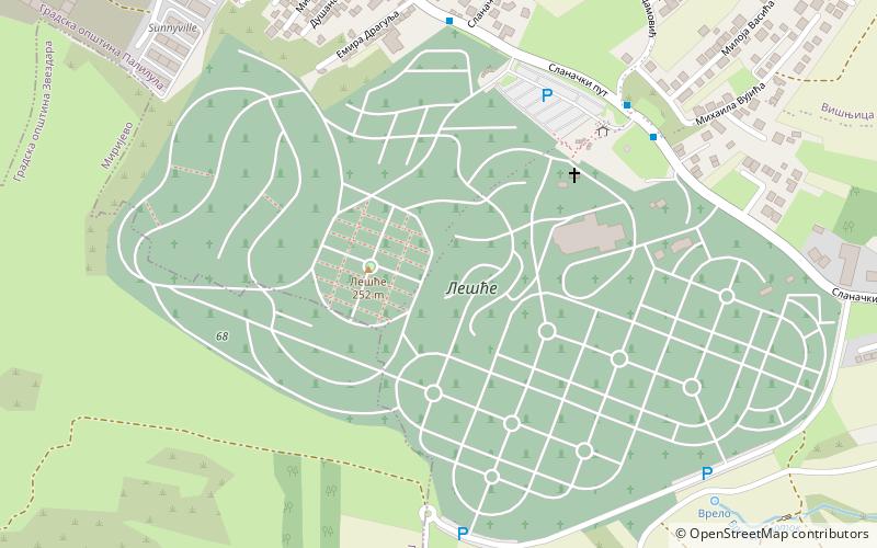
Nearby attractions include Museum of Roma Culture of Belgrade, Belgrade (12 min walk), Zvezdara Forest, Belgrade (13 min walk), Zvezdara II, Belgrade (14 min walk), Belgrade Observatory, Belgrade (15 min walk).
How to get to Ćalije by public transport?
The nearest stations to Ćalije:
Bus
Trolleybus
Tram
Bus
- Ћалије • Lines: 27, 27E, E6 (4 min walk)
- Симе Тројановића • Lines: 27, 27E (4 min walk)
Trolleybus
- Звездара • Lines: 28, 40 (20 min walk)
- Милоша Јанковића • Lines: 28, 40 (23 min walk)
Tram
- Др Велизара Косановића • Lines: 14, 5, 6, 7 (25 min walk)
- Мите Ружића • Lines: 14, 5, 6, 7 (26 min walk)