Čardak, Novi Sad
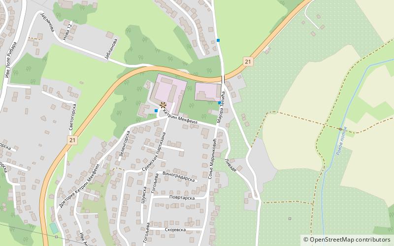
Map
Facts and practical information
Čardak is a neighborhood of Sremska Kamenica, Serbia. This neighborhood is located on a hill, with an elevation of 190 m, overlooking Donja Kamenica to the north, Alibegovac to the east and Paragovo and Staroiriški Put to the west. Čardak is only a few kilometers from the border of Fruška Gora National Park. ()
Coordinates: 45°12'42"N, 19°51'4"E
Address
Novi Sad
ContactAdd
Social media
Add
Day trips
Čardak – popular in the area (distance from the attraction)
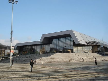
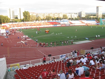
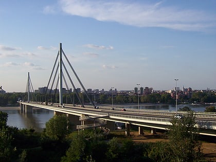
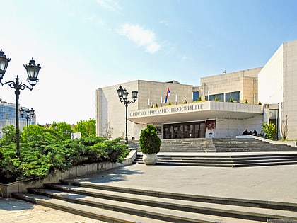
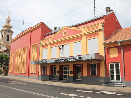
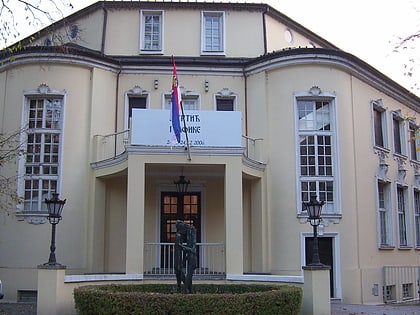
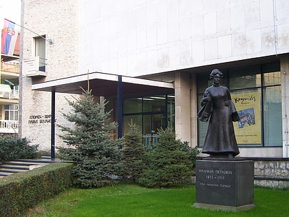
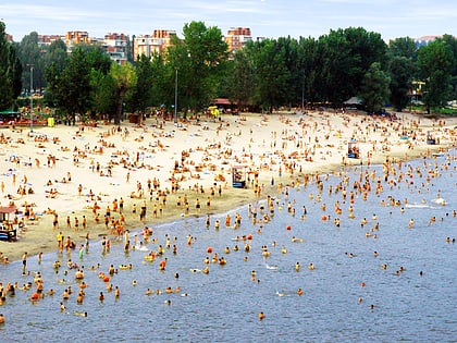
Nearby attractions include: Petrovaradin Fortress, Gallery of Matica Srpska, Spens, Stadion Karađorđe.
Frequently Asked Questions (FAQ)
Which popular attractions are close to Čardak?
Nearby attractions include Paragovo, Novi Sad (22 min walk), Sremska Kamenica, Novi Sad (23 min walk).
How to get to Čardak by public transport?
The nearest stations to Čardak:
Bus
Bus
- Поповица - Окретница - Мошина Вила (22 min walk)


