Cerak, Belgrade
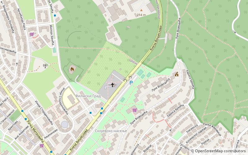
Map
Facts and practical information
Address
Belgrade
ContactAdd
Social media
Add
Getting there by public transportation
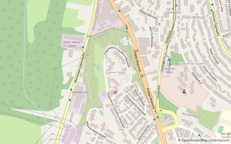
Public transportation stops near this location
- Bus
- Tram
- Train
 Bus
Bus
- Calculate routeЛуке Војводића 1 min walk
- Calculate routeМилоја Закића 9 min walk
- Calculate routeИлије Стојадиновића 5 min walk
- Calculate routeРаковица 15 min walk
- Calculate routeБаново Брдо 40 min walk
Day trips


Frequently Asked Questions (FAQ)
Which popular attractions are close to Cerak?
Nearby attractions include Filmski Grad, Belgrade (4 min walk), Skojevsko Naselje, Belgrade (5 min walk), Rakovica, Belgrade (17 min walk), Žarkovo, Belgrade (21 min walk).
How to get to Cerak by public transport?
The nearest stations to Cerak:
Bus
Train
Tram
Bus
- Луке Војводића • Lines: 23, 53, E2 (1 min walk)
- Милоја Закића • Lines: 23, 53, 57, E2 (9 min walk)
Train
- Раковица (15 min walk)
Tram
- Баново Брдо • Lines: 12, 12L2, 12L5, 13 (40 min walk)