Šangaj, Novi Sad

Map
Facts and practical information
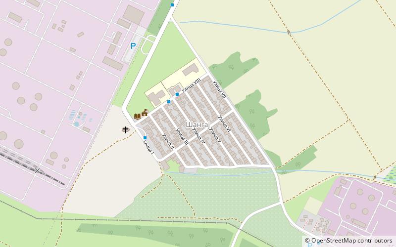
Šangaj is an urban neighborhood of the city of Novi Sad, Serbia. It is situated close to the Danube, and is surrounded by the Novi Sad industrial zones, right next to the oil refinery of Naftna Industrija Srbije. It covers an area of 0.13 km². ()
Area: 5.02 mi²Coordinates: 45°16'19"N, 19°52'33"E
Address
Novi Sad
ContactAdd
Social media
Add
Day trips
Šangaj – popular in the area (distance from the attraction)
Nearby attractions include: Danube Park, Žeželj Bridge, Varadin Bridge, Museum of Vojvodina.
Frequently Asked Questions (FAQ)
How to get to Šangaj by public transport?
The nearest stations to Šangaj:
Bus
Bus
- Beogradski Kej - Marka Miljanova • Lines: 6 (31 min walk)
- Marka Miljanova - Kvantas Market • Lines: 6 (33 min walk)


