Savski Nasip, Belgrade
Map
Gallery
Facts and practical information
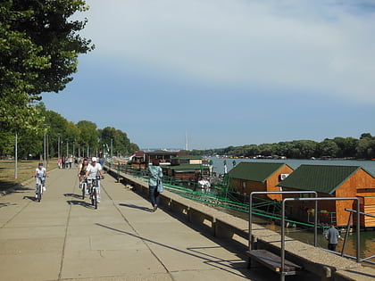
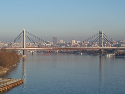
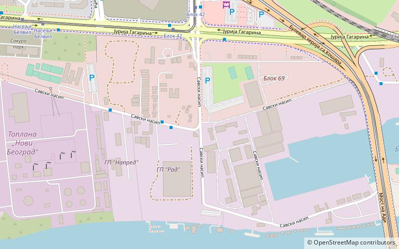
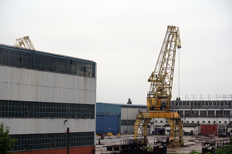
Savski Nasip is an urban neighborhood of Belgrade, the capital of Serbia. It is located in Belgrade's municipality of Novi Beograd. In wider sense, the term is used for the entire right bank of the Sava on the territory of the New Belgrade, which is partially being arranged as the pedestrian "Sava quay". Since early 2010s, the term was colloquially attached to the westernmost section of the bank, the riparian zone which is threatened by the illegal construction of weekend houses in the forbidden zone. ()
Address
Novi BeogradBelgrade
ContactAdd
Social media
Add
Day trips
Savski Nasip – popular in the area (distance from the attraction)
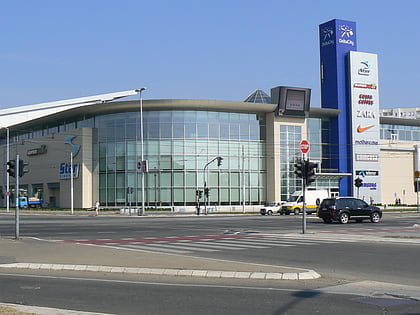
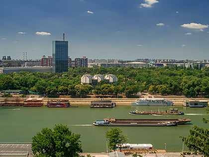
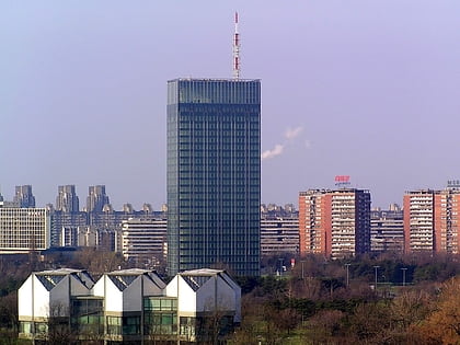
Nearby attractions include: Delta City, Sava Centar, Ada Ciganlija, Ušće Tower.
Frequently Asked Questions (FAQ)
Which popular attractions are close to Savski Nasip?
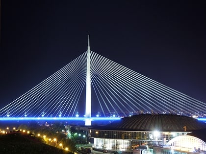
Nearby attractions include New Belgrade, Belgrade (3 min walk), Ada Bridge, Belgrade (12 min walk), Belville, Belgrade (14 min walk), Mala Ciganlija, Belgrade (14 min walk).
How to get to Savski Nasip by public transport?
The nearest stations to Savski Nasip:
Bus
Tram
Train
Bus
- ГП Рад” • Lines: 60 (2 min walk)
- Блок 42 • Lines: 60, 85, 89, 94, 95, E1, E5, E6 (6 min walk)
Tram
- Блок 42 • Lines: 11, 11L, 13, 7, 9 (6 min walk)
- Железничка Станица Нови Београд” • Lines: 11, 11L, 13, 7, 9 (11 min walk)
Train
- New Belgrade (11 min walk)
- Tosin Bunar (38 min walk)
