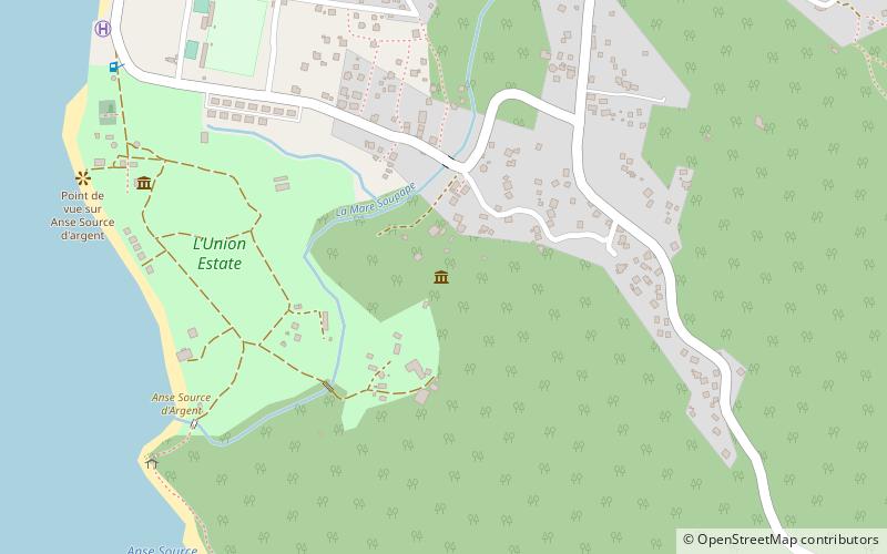
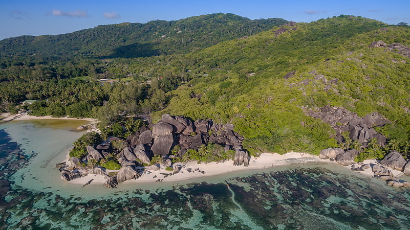
L’Union Estate, La Digue
Map
Facts and practical information
L’Union Estate is a place located in La Digue (La Digue and Inner Islands district) and belongs to the category of museum.
It is situated at an altitude of 69 feet, and its geographical coordinates are 4°21'56"S latitude and 55°49'54"E longitude.
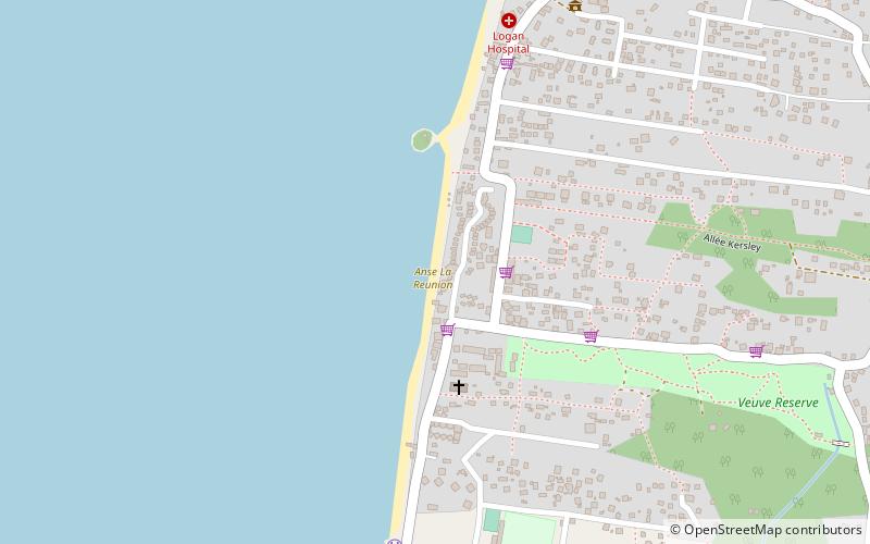
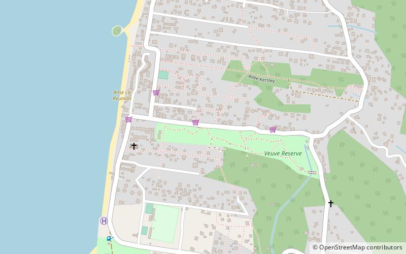
Among other places and attractions worth visiting in the area are: Anse Source d'Argent (beach, 12 min walk), Veuve Reserve (park, 16 min walk), Anse La Reunion (beach, 21 min walk).
Coordinates: 4°21'56"S, 55°49'54"E
Address
La Digue
ContactAdd
Social media
Add
Day trips

Frequently Asked Questions (FAQ)
Which popular attractions are close to L’Union Estate?
Nearby attractions include Anse Source d'Argent, La Digue (12 min walk), Veuve Reserve, La Digue (16 min walk), Anse La Reunion, La Digue (21 min walk), La Digue and Inner Islands, La Digue (24 min walk).