L'Islette Island, Mahé
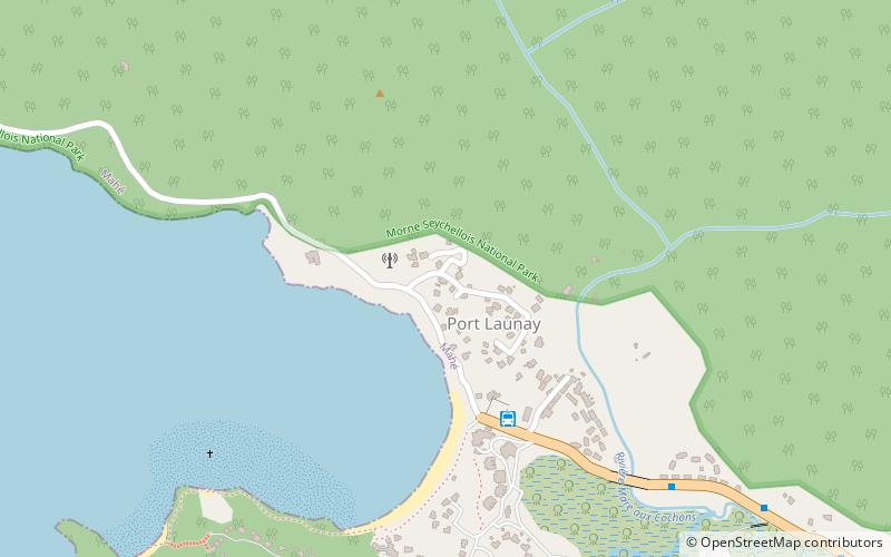
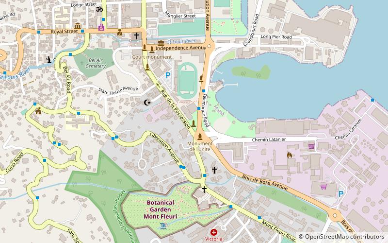
Map
Facts and practical information
L'Islette Island is an island in Seychelles, located 120 meters from the eastern coast of the island of Mahe, in the bay of Port Glaud. It is also near Thérèse Island which lies to its southwest and Petite Island which lies to its east. L'Islette Island is a granite island densely covered with tropical vegetation. ()
Area: 8.4 acres (0.0131 mi²)Maximum elevation: 33 ftArchipelago: Inner Islands, SeychellesCoordinates: 4°39'0"S, 55°24'0"E
Day trips
L'Islette Island – popular in the area (distance from the attraction)
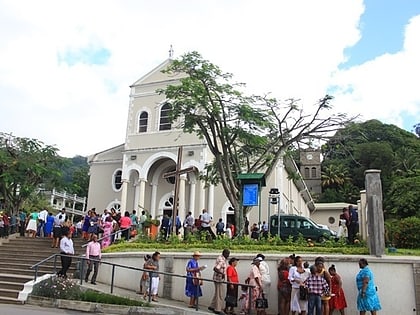
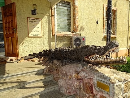
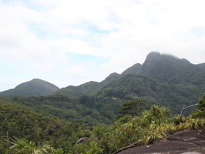
Nearby attractions include: Immaculate Conception Cathedral, Seychelles Natural History Museum, Morne Seychellois, National Library of Seychelles.
Frequently Asked Questions (FAQ)
How to get to L'Islette Island by public transport?
The nearest stations to L'Islette Island:
Bus
Bus
- Port Launay Turning Point (6 min walk)
