Anse Fourmis, La Digue

Map

Map

Facts and practical information
Anse Fourmis is a place located in La Digue (La Digue and Inner Islands district) and belongs to the category of beach, outdoor activities, park.
It is situated at an altitude of 30 feet, and its geographical coordinates are 4°21'25"S latitude and 55°50'60"E longitude.
Among other places and attractions worth visiting in the area are: Anse Ermetz (beach, 8 min walk), Anse Banane (beach, 10 min walk), Anse Caiman (watersports, 12 min walk).
Elevation: 30 ft a.s.l.Coordinates: 4°21'25"S, 55°50'60"E
Address
La Digue
ContactAdd
Social media
Add
Day trips
Anse Fourmis – popular in the area (distance from the attraction)
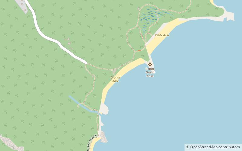
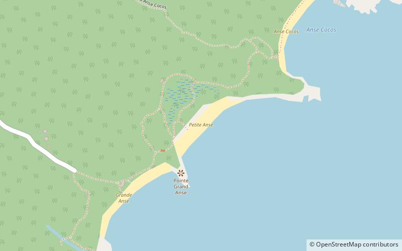
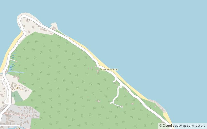
Nearby attractions include: Grande Anse, Anse Cocos, Petite Anse, Anse Gaulettes.
Frequently Asked Questions (FAQ)
Which popular attractions are close to Anse Fourmis?
Nearby attractions include Anse Ermetz, La Digue (8 min walk), Anse Banane, La Digue (10 min walk), Anse Cocos, La Digue (18 min walk), Anse Grosse Roche, La Digue (20 min walk).