Tagrin Point, Freetown
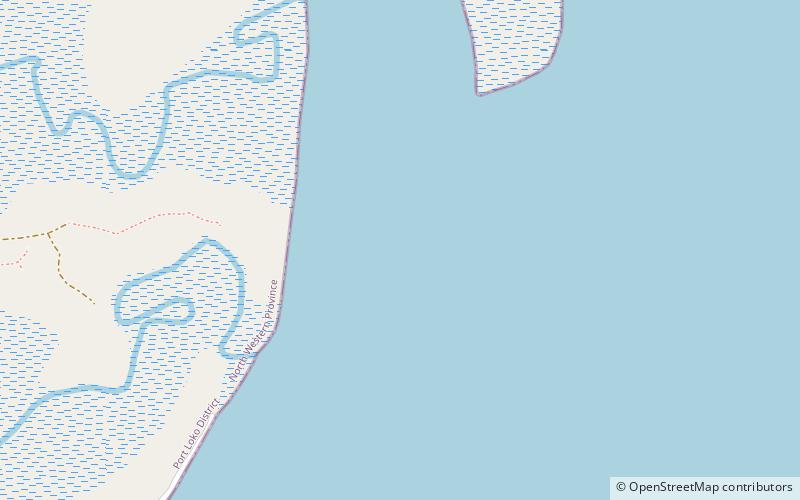
Map
Facts and practical information
Tagrin Point is the proposed location of a deep water port to replace the older and shallower port of Port Pepel in Sierra Leone. It would be connected to existing and new iron ore mined by an upgraded railway line converted to standard gauge. ()
Coordinates: 8°32'0"N, 13°7'60"W
Address
Freetown
ContactAdd
Social media
Add
Day trips
Tagrin Point – popular in the area (distance from the attraction)
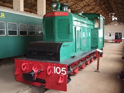
Nearby attractions include: Sierra Leone National Railway Museum, Race Course Cemetery, Queen Elizabeth II Quay, Kissy.
