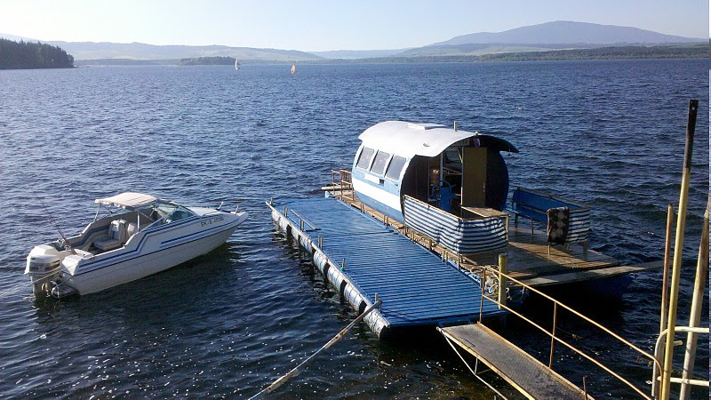
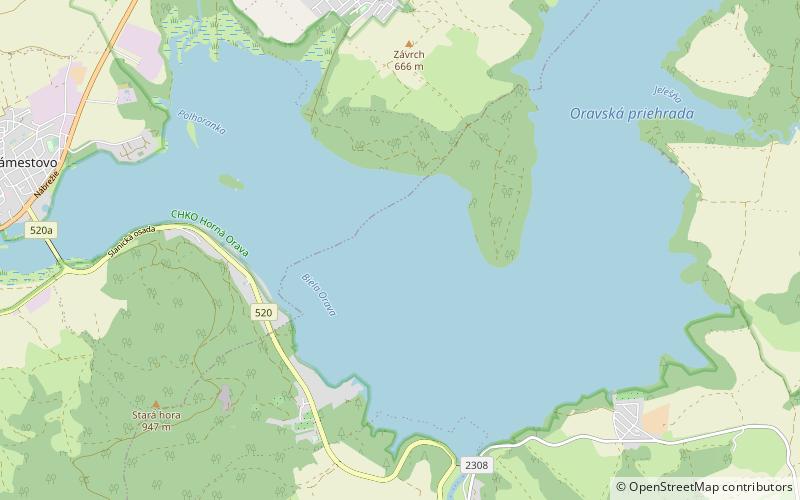
Orava
Map
![Orava location map](https://tzmedia.b-cdn.net/media/images/static-maps/sk/49_3997_19_5456.jpg)
Gallery
![Orava](https://tzmedia.b-cdn.net/media/images/sk/place/gallery/medium/688b11a1ebd7e68b9a086ec2454598c9.jpg)
Facts and practical information
Orava is a reservoir in northernmost Slovakia, forming the largest lake in Slovakia. ()
Local name: Oravská priehrada Area: 13.51 mi²Elevation: 1955 ft a.s.l.Coordinates: 49°23'59"N, 19°32'44"E
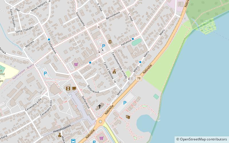
Location
Žilinský
ContactAdd
Social media
Add
Day trips
Orava – popular in the area (distance from the attraction)
Nearby attractions include: Church of All Saints of Tvrdošín, Most Holy Trinity Church, Wooden churches of the Slovak Carpathians, Namestovo church.