Hrad Biely Kameň, Svätý Jur
Map

Map

Facts and practical information
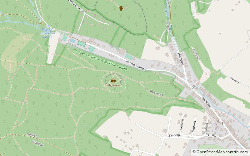
Hrad Biely Kameň is a place located in Svätý Jur (Bratislavský region) and belongs to the category of forts and castles.
It is situated at an altitude of 912 feet, and its geographical coordinates are 48°15'41"N latitude and 17°11'50"E longitude.
Among other places and attractions worth visiting in the area are: Svätý Jur Synagogue (synagogue, 23 min walk), Jurské jazero, Little Carpathians Protected Landscape Area (natural attraction, 51 min walk), Šúr (national park, 62 min walk).
Architectural style: GothicCoordinates: 48°15'41"N, 17°11'50"E
Address
Svätý Jur
ContactAdd
Social media
Add
Day trips
Hrad Biely Kameň – popular in the area (distance from the attraction)
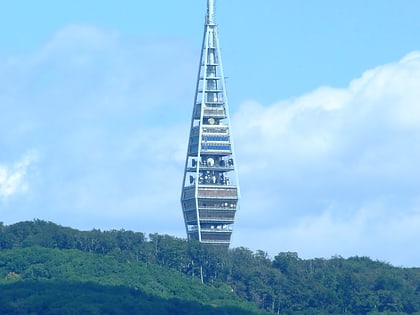
Nearby attractions include: Pajštún Castle, Zlaté Piesky, Kamzík TV Tower, St. Sebastian's Cathedral.


