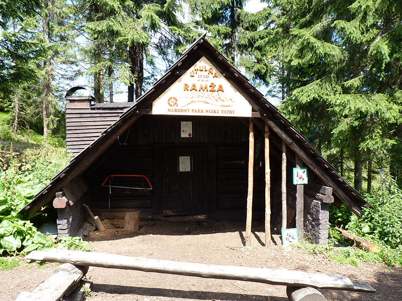
Útulňa Ramža, Low Tatras

Gallery (2)
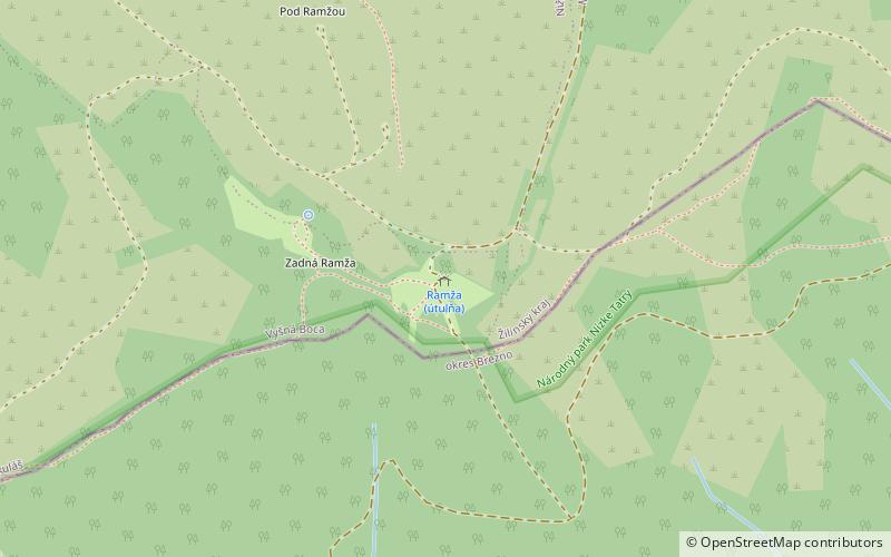
Map
Map
Gallery
Facts and practical information
Útulňa Ramža is a place located in Low Tatras (Banskobystrický region) and belongs to the category of hiking, wilderness hut.
It is situated at an altitude of 4186 feet, and its geographical coordinates are 48°54'48"N latitude and 19°47'50"E longitude.
Among other places and attractions worth visiting in the area are: Čertovica (mountain pass, 72 min walk), E8 European long distance path (hiking, 85 min walk).
Coordinates: 48°54'48"N, 19°47'50"E
Address
Low Tatras
ContactAdd
Social media
Add
Day trips

