Slavkovský štít, Tatra National Park
Map

Map

Facts and practical information
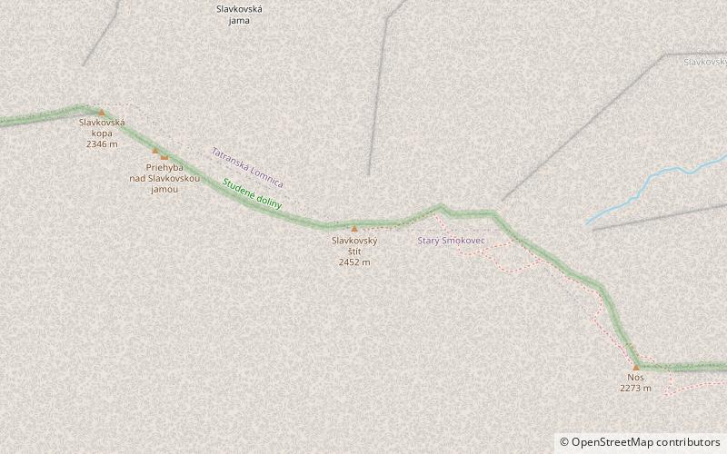
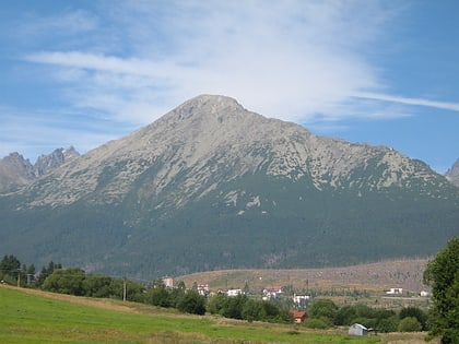
Slavkovský štít is the fourth highest mountain peak that can be reached on a marked trail in the High Tatra mountains in Slovakia. Its summit is 2452 metres above sea level. It can be reached by foot on a walking trail in about four and a half hours from Starý Smokovec. The first recorded ascent was by Juraj Buchholtz in 1664 and it took the group of 12 members 2 days, while only 4 of them reached the summit. ()
Address
Tatra National Park
ContactAdd
Social media
Add
Day trips
Slavkovský štít – popular in the area (distance from the attraction)
Nearby attractions include: Zbojnícka chata, Slavkovský nos, Západná Slavkovská veža, Východná Slavkovská veža.
Frequently Asked Questions (FAQ)
Which popular attractions are close to Slavkovský štít?
Nearby attractions include Slavkovský nos, Tatra National Park (10 min walk), Východná Slavkovská veža, Tatra National Park (23 min walk).


