Mount Hum, Laško

Gallery (1)
Map
Map
Facts and practical information
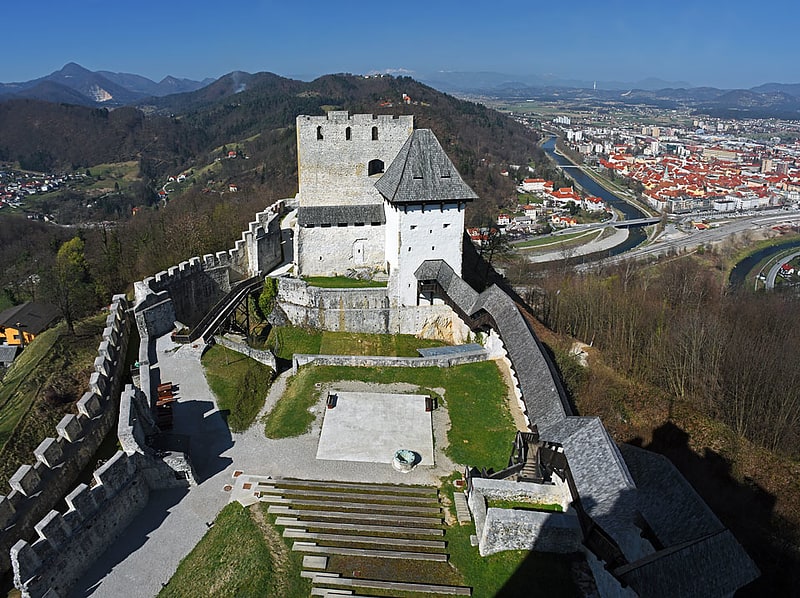
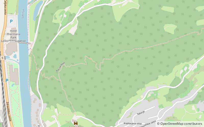
Hum, 583-metre high and the most prominent peak of the Laško region, is situated on the Savinja river's left bank. For ages, its foothills have been giving a shelter to the old castle under which thermal water has been pumped from the springs. There is a wide view from Hum on to Laško and its surroundings. ()
Elevation: 1913 ftProminence: 883 ftCoordinates: 46°9'38"N, 15°14'23"E
Address
Laško
ContactAdd
Social media
Add
Day trips