Rogla

Gallery (1)
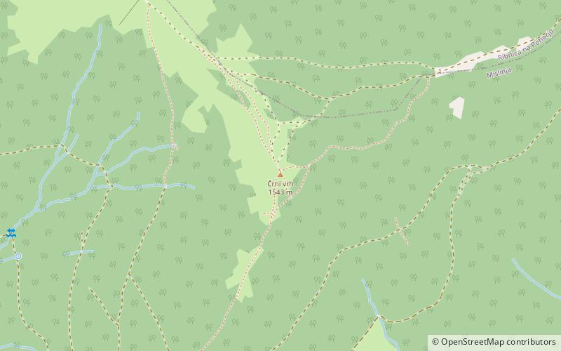
Map
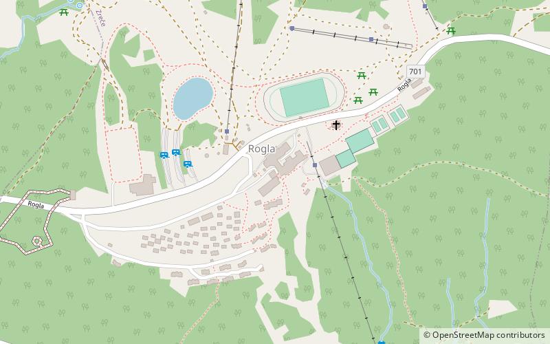
Map
Facts and practical information
Rogla is a peak on Zreče Pohorje in the Municipality of Zreče in northeastern Slovenia. The area is part of the traditional region of Styria. It is now included in the Savinja Statistical Region. ()
Elevation: 4977 ftCoordinates: 46°27'10"N, 15°20'1"E
Day trips