Pilgrims' Trail
Map

Map

Facts and practical information
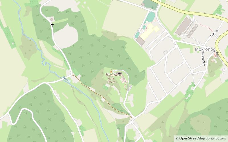
The Pilgrims' Trail is a 28-kilometre-long trail in southeastern Slovenia. It runs from Mount Sorrow above Mokronog through Šentrupert, past the Church of St. Francis Xavier in Vesela Gora, and to the Zaplaz Pilgrimage Church in Čatež. The entire walk takes 6 to 7 hours. An organised pilgrimage takes place on the trail every year on the second Sunday of May. The path is maintained by the mountaineering club from Šentrupert, whereas the event is organised by the cultural society of Šentrupert. ()
Coordinates: 45°56'29"N, 15°8'16"E
Location
Jugovzhodna Slovenija
ContactAdd
Social media
Add
Day trips
Pilgrims' Trail – popular in the area (distance from the attraction)
Nearby attractions include: Sv. Rupert, Simončič Hayrack.


