Občinsko pokopališče v Mirnu, Miren

Gallery (1)
Map
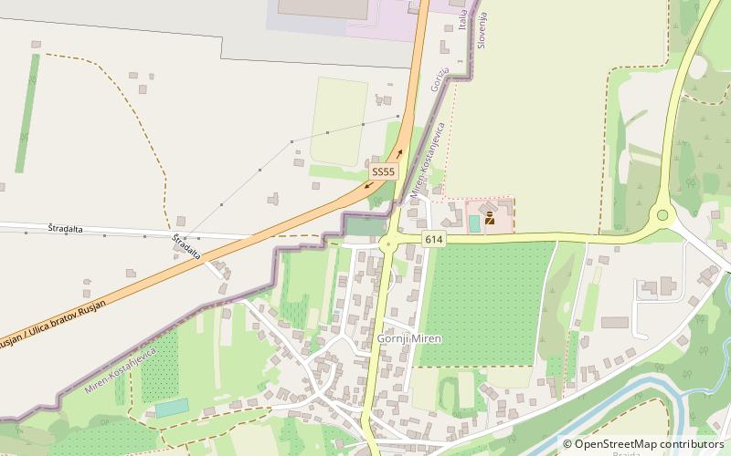
Map
Facts and practical information
Občinsko pokopališče v Mirnu is a place located in Miren (Goriška statistical region) and belongs to the category of cemetery.
It is situated at an altitude of 174 feet, and its geographical coordinates are 45°53'56"N latitude and 13°36'29"E longitude.
Among other places and attractions worth visiting in the area are: Kogoj (museum, 11 min walk), Miren Castle (church, 28 min walk), Bilje (locality, 36 min walk).
Coordinates: 45°53'56"N, 13°36'29"E
Address
Miren
ContactAdd
Social media
Add
Day trips