Grintovec, Kamnik

Gallery (1)
Map
Map
Facts and practical information
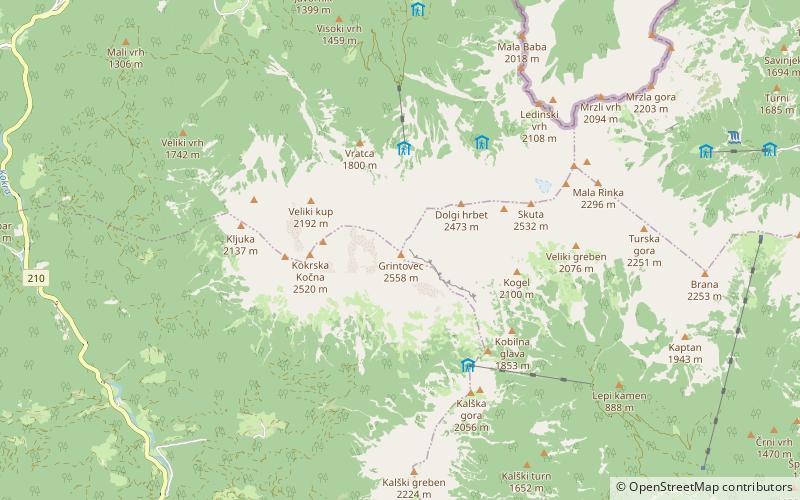
Grintovec is the highest mountain of the Kamnik–Savinja Alps, with an elevation of 2,558 metres. It is a popular location for hiking, climbing and skiing. The first recorded ascent was in 1759 by the botanist Giovanni Antonio Scopoli. ()
Alternative names: First ascent: 1759Elevation: 8392 ftProminence: 5597 ftCoordinates: 46°21'28"N, 14°32'7"E
Address
Kamnik
ContactAdd
Social media
Add
Day trips


