Mali Graben, Ljubljana
Map

Map

Facts and practical information
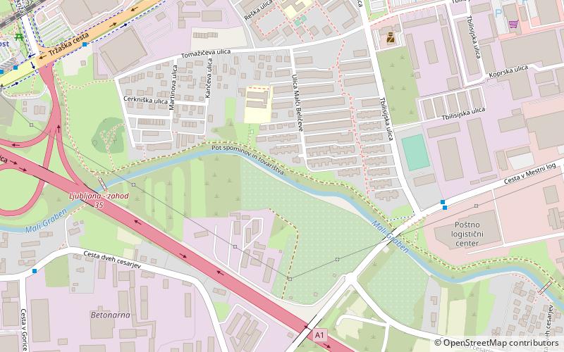
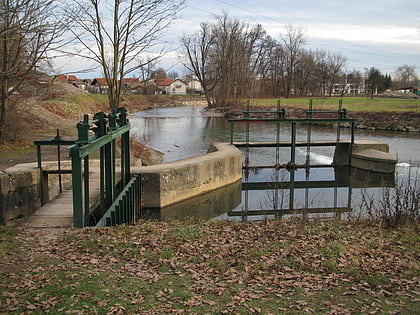
The Mali Graben is a creek and a natural branch of the Gradaščica River in southwest Ljubljana. It flows south of and parallel to the Gradaščica and is the largest affluent of the river Ljubljanica. It is also known as Stržen and Mala voda. ()
Local name: Mali grabenCoordinates: 46°2'4"N, 14°28'24"E
Address
Ljubljana
ContactAdd
Social media
Add
Day trips
Mali Graben – popular in the area (distance from the attraction)
Nearby attractions include: Government Building and President's Office, Mladika Complex, Vrhovci, Tivoli Pond.
Frequently Asked Questions (FAQ)
Which popular attractions are close to Mali Graben?
Nearby attractions include Vič District, Ljubljana (15 min walk), Glinščica, Ljubljana (16 min walk), Glince, Ljubljana (17 min walk).
How to get to Mali Graben by public transport?
The nearest stations to Mali Graben:
Bus
Train
Bus
- 603142 ~ Tbilisijska • Lines: 1, 1B (7 min walk)
- 603141 ~ Tbilisijska • Lines: 1, 1B (7 min walk)
Train
- Dolgi most (13 min walk)
- Ljubljana Tivoli (38 min walk)


