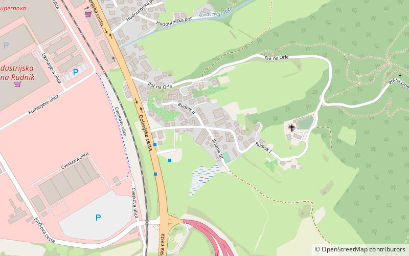
Rudnik, Ljubljana

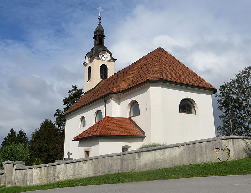
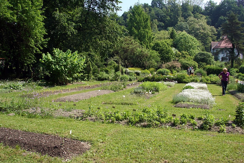
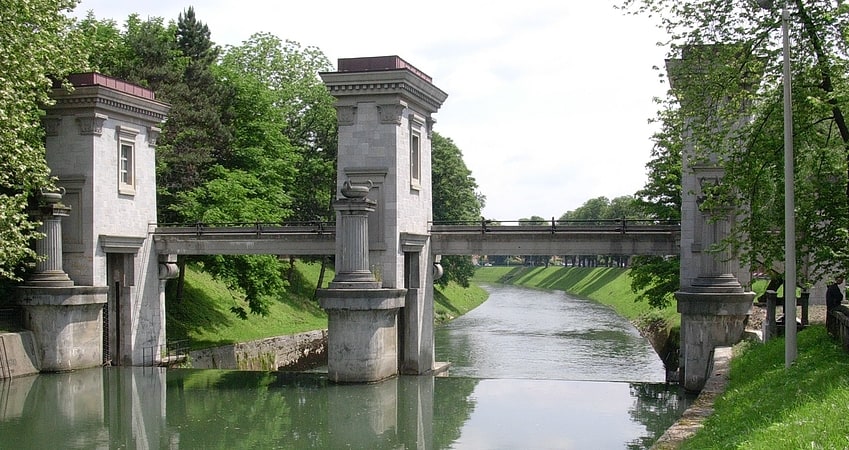
Gallery (3)
Map
Map
Gallery
Facts and practical information
Coordinates: 46°1'8"N, 14°32'43"E
Address
Ljubljana
ContactAdd
Social media
Add
Getting there by public transportation
Public transportation stops near this location
- Bus
 Bus
Bus
- Calculate route504031 ~ Rudnik 3 min walk
- Calculate route504033 ~ Rudnik I / Ljubljana Rudnik 3 min walk
- Calculate route504032 ~ Rudnik I / Ljubljana Rudnik 4 min walk
- Calculate route504022 ~ Spodnji Rudnik 10 min walk
Day trips


Frequently Asked Questions (FAQ)
How to get to Rudnik by public transport?
The nearest stations to Rudnik:
Bus
Bus
- 504031 ~ Rudnik • Lines: 3, N3 (3 min walk)
- 504033 ~ Rudnik I / Ljubljana Rudnik • Lines: 3, 3B, 3G, 68, 69, 78, 79, 82, N3B (3 min walk)