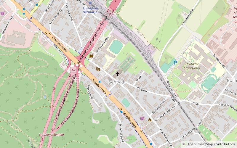
Šentvid District, Ljubljana
Map
Facts and practical information
The Šentvid District, or simply Šentvid, is a district of the City Municipality of Ljubljana, the capital of Slovenia. It is named after the former village of Šentvid. ()
Address
Ljubljana
ContactAdd
Social media
Add
Getting there by public transportation
Public transportation stops near this location
- Bus
- Train
 Bus
Bus
- Calculate route804042 ~ Šentvid / Ljubljana Šentvid 2 min walk
- Calculate route804041 ~ Šentvid / Ljubljana Šentvid 4 min walk
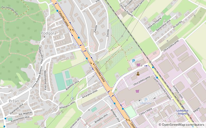
- Calculate route804032 ~ Podgora 7 min walk
- Calculate route804031 ~ Podgora 9 min walk
- Calculate routeLjubljana Vižmarje 7 min walk
- Calculate routeLjubljana Stegne 25 min walk
Day trips


Frequently Asked Questions (FAQ)
Which popular attractions are close to Šentvid District?
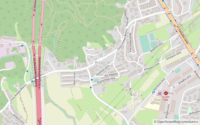
Nearby attractions include Šentvid, Ljubljana (1 min walk), Poljane, Ljubljana (11 min walk), Podgora, Ljubljana (11 min walk), Trata, Ljubljana (16 min walk).
How to get to Šentvid District by public transport?
The nearest stations to Šentvid District:
Bus
Train
Bus
- 804042 ~ Šentvid / Ljubljana Šentvid • Lines: 1, 1B, 25, 60, 8, Alpetour, N1 (2 min walk)
- 804041 ~ Šentvid / Ljubljana Šentvid • Lines: 1, 1B, 25, 60, 8, 8B, Alpetour, N1 (4 min walk)
Train
- Ljubljana Vižmarje (7 min walk)
- Ljubljana Stegne (25 min walk)