Upper Sava Valley
Map
Map

Facts and practical information
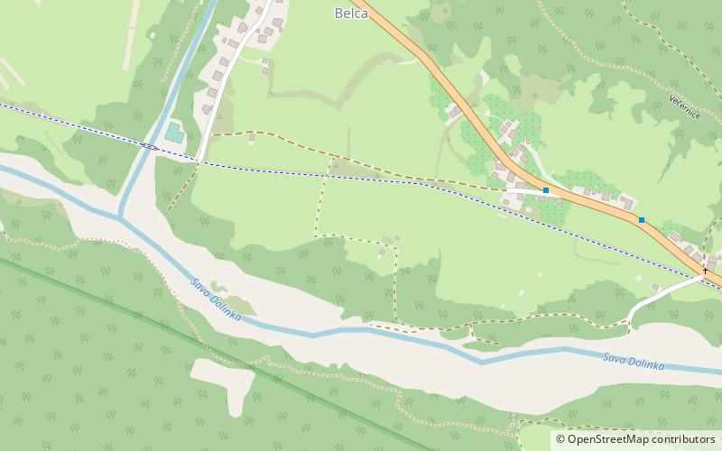
The Upper Sava Valley is an alpine valley in the Upper Carniola region of Slovenia. The Sava Dolinka River flows along it. It begins in Rateče at an elevation of 870 m and ends at Moste at 560 m. It is the geographical border between the Julian Alps and the Karawanks. It was created on a tectonic fault that runs down the middle of the valley. Its geomorphological forms are a result of the actions of the river and glaciers. A number of smaller valleys lead into it from both sides. ()
Local name: Zgornjesavska dolinaCoordinates: 46°28'16"N, 13°54'42"E
Location
Gorenjska
ContactAdd
Social media
Add
Day trips
Upper Sava Valley – popular in the area (distance from the attraction)
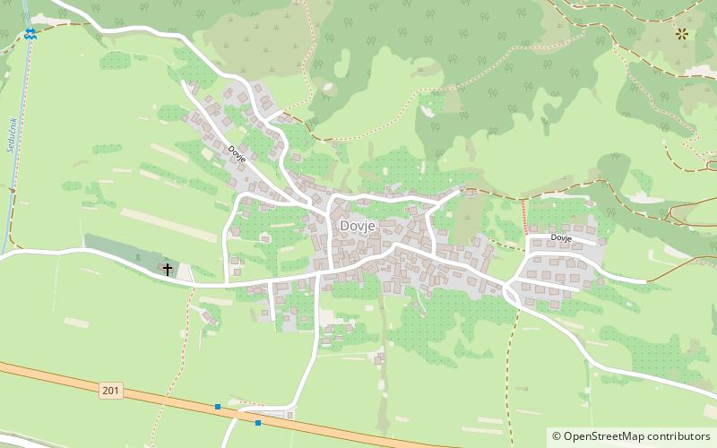
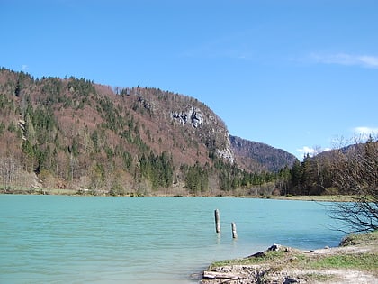
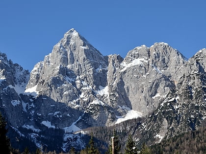
Nearby attractions include: Mittagskogel, Dovje, Lake Kreda, Slovenski planinski muzej.


