Uskovnica
#204 among destinations in Slovenia

Facts and practical information
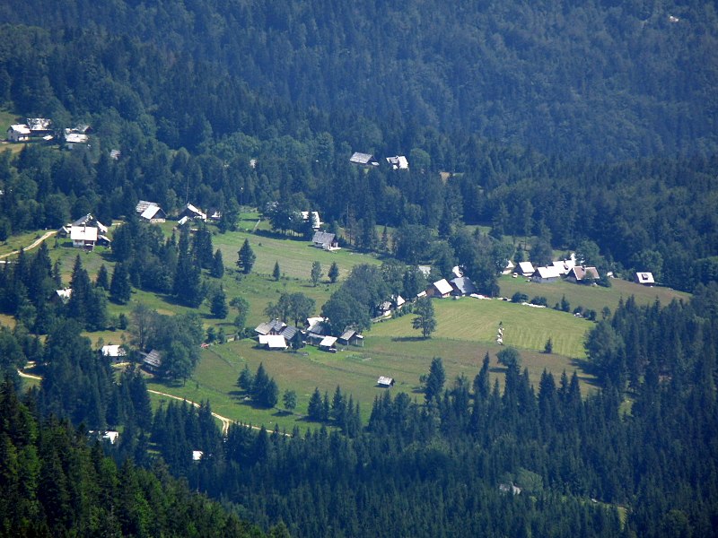
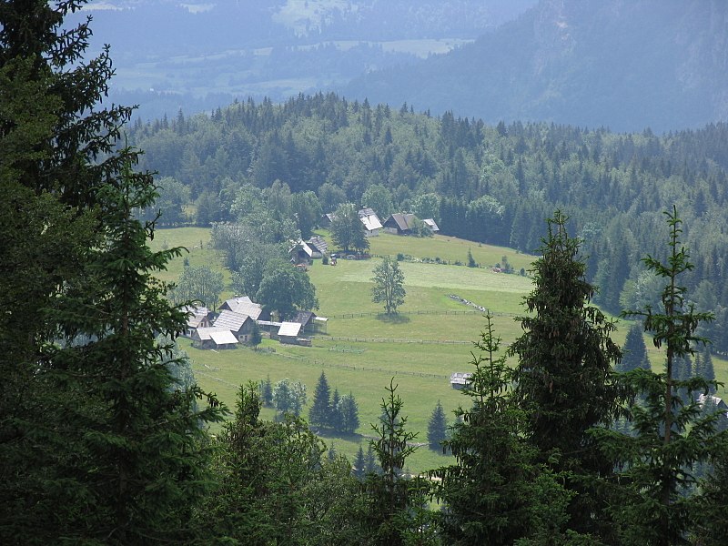
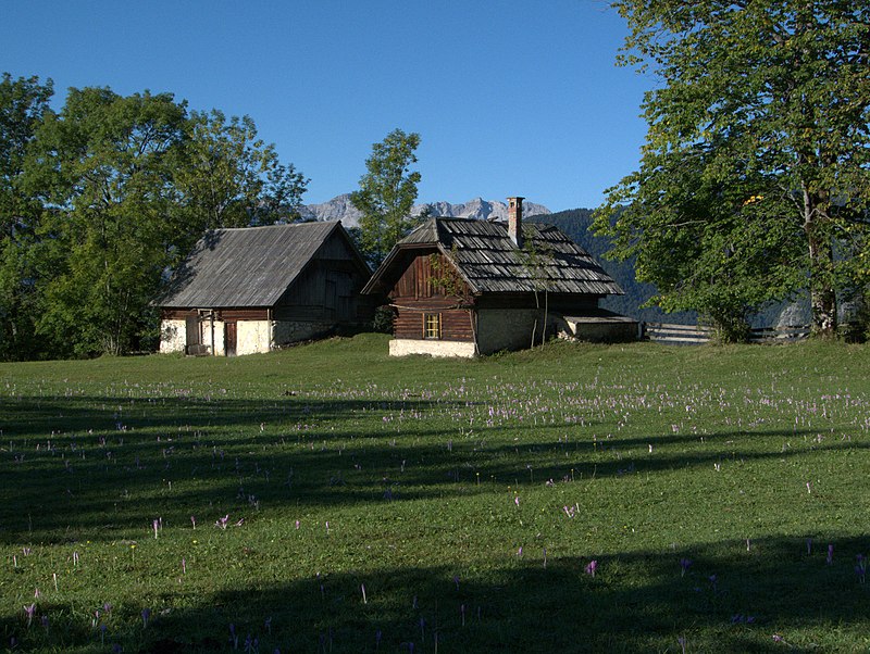
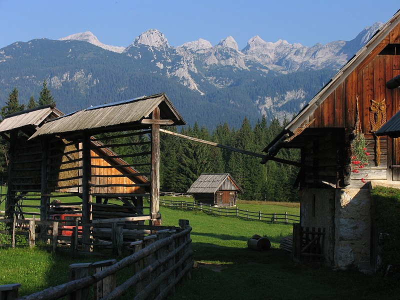
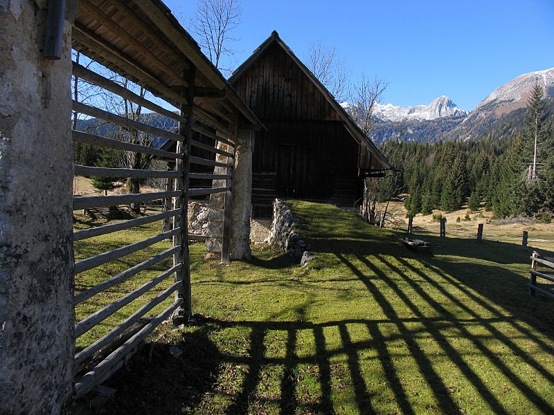
Uskovnica is an Alpine pasture on Pokljuka plain in the Bohinj area, belonging to the village Srednja vas v Bohinju. The majority of the alm cottages are now used as vacation and tourist facilities. ()
GorenjskaSlovenia
Uskovnica – popular in the area (distance from the attraction)
Nearby attractions include: Lake Bohinj, Rjavina, Triglav Lodge at Kredarica, Planika Lodge at Triglav.
 Large lake reflecting mountains
Lake Bohinj, Triglav National Park
106 min walk • Lake Bohinj, covering 318 hectares, is the largest permanent lake in Slovenia. It is located within the Bohinj Valley of the Julian Alps, in the northwestern Upper Carniola region, and part of Triglav National Park.
 Mountain
Rjavina, Triglav National Park
103 min walk • Rjavina is a mountain in Slovenian Julian Alps. It rises 2,532 m above sea level. Located between two Alpine glacial valleys, Kot and Krma, it offers nice views to some of the highest Slovenian peaks, including Triglav, Škrlatica and Rž.
 Hiking, Mountain, Alpine hut
Triglav Lodge at Kredarica, Dovje-Mojstrana
102 min walk • The Triglav Lodge at Kredarica is the highest mountain hut in Slovenia and the highest meteorological station in the country. It stands on a small plateau just under the peak of Kredarica, an elevation in the ridge between Rjavina and Triglav.
 Alpine hut, Hiking, Vernacular architecture
Planika Lodge at Triglav, Triglav National Park
94 min walk • The Planika Lodge at Triglav is a mountain hut, which lies on the Ledine plains on the southern side of Mount Triglav. The First hut, also called the Triglav Tempe, was built on 18 September 1871. In 1877, the Austro-German hiking club built a hut called the Maria Theresa Hut.
 Tower
TowerAljaž Tower, Triglav National Park
111 min walk • Aljaž Tower or the Triglav Tower is a tower, a storm shelter and a triangulation point on the summit of Mount Triglav in northwestern Slovenia. Along with Triglav, it is a landmark of Slovenia and a symbol of the Slovenehood. The tower was designed by Jakob Aljaž, a priest in the Upper Carniolan village of Dovje, who also had it erected.
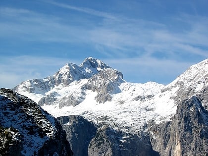 Famed mountain with the Aljaž Tower
Triglav, Dovje-Mojstrana
88 min walk • Triglav, with an elevation of 2,863.65 metres, is the highest mountain in Slovenia and the highest peak of the Julian Alps. The mountain is the pre-eminent symbol of the Slovene nation.
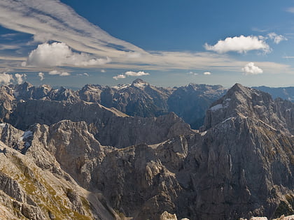 Nature, Natural attraction, Mountain
Julian Alps, Triglav National Park
119 min walk • The Julian Alps are a mountain range of the Southern Limestone Alps that stretch from northeastern Italy to Slovenia, where they rise to 2,864 m at Mount Triglav, the highest peak in Slovenia and of the former Yugoslavia.

 Nature, Natural attraction, Valley
Krma, Triglav National Park
117 min walk • Krma is an alpine valley in the Julian Alps in the Upper Carniola region, northwestern Slovenia. It is included in the Triglav National Park in its entirety. Krma is the longest and easternmost of the glacial valleys near Mojstrana. It is the starting point for many routes through Triglav National Park area.
 Nature, Natural attraction, Mountain
Tosc Mountain, Triglav National Park
56 min walk • Tosc, formerly also known as Tolstec, is a mountain of the central Julian Alps, located in Upper Carniola, western Slovenia. The mountain stands south of Triglav, rising above the Voje Valley to the south and Big Field Pasture to the west.
 Nature, Natural attraction, Natural feature
Julian Alps and Prealps, Triglav National Park
88 min walk • The Julian Alps and Prealps are a mountain range in the eastern part of the Alps. They are located in Slovenia and in Italy.


