Hudinja, Celje
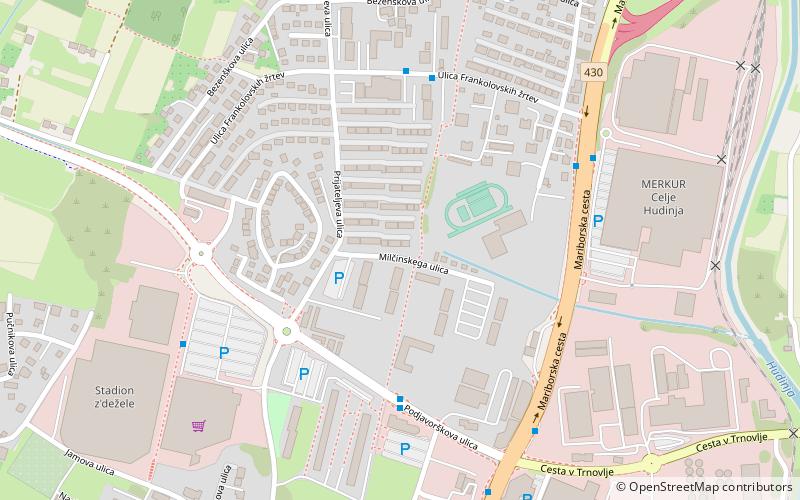
Map
Facts and practical information
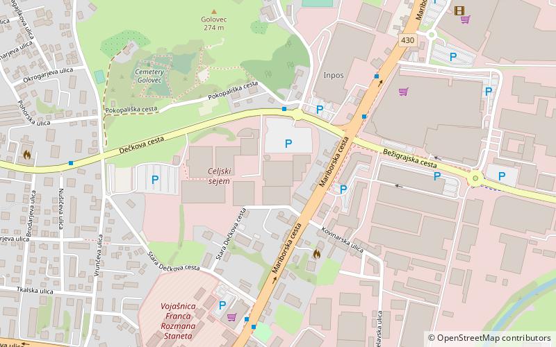
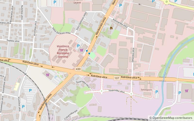
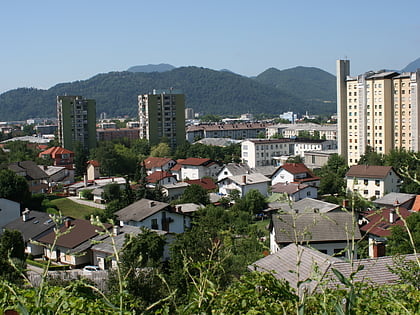
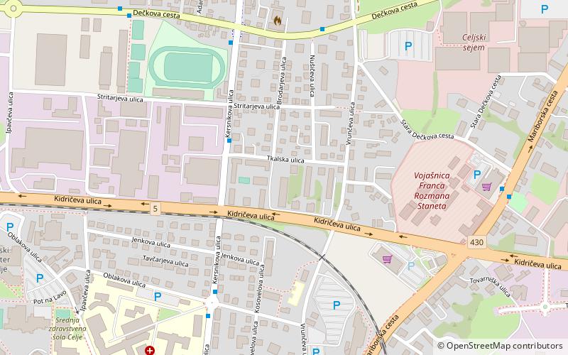
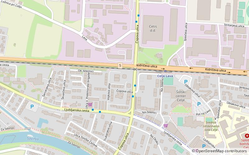
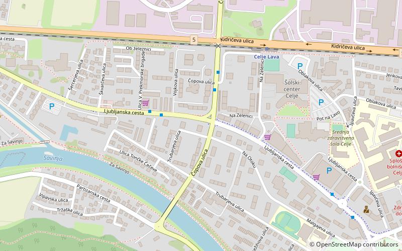
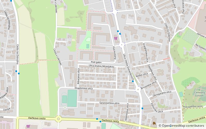
Hudinja is a district along the Hudinja in the northern part of Celje, Slovenia. Hudinja consists of two informal parts: Spodnja Hudinja and Zgornja Hudinja. It is named after the Hudinja River, a tributary of the Savinja, which flows through it. Zgornja Hudinja was an independent settlement until 1982. ()
Coordinates: 46°14'55"N, 15°16'34"E
Address
Celje
ContactAdd
Social media
Add
Day trips
Hudinja – popular in the area (distance from the attraction)
Nearby attractions include: Golovec Hall, Karel Destovnik Kajuh, Gaberje, Nova Vas.
Frequently Asked Questions (FAQ)
Which popular attractions are close to Hudinja?
Nearby attractions include Nova Vas, Celje (16 min walk), Dečkovo Naselje, Celje (21 min walk), Gaberje, Celje (22 min walk).
How to get to Hudinja by public transport?
The nearest stations to Hudinja:
Bus
Train
Bus
- Zgornja Hudinja ulica frankolovskih žrtev • Lines: 4 (5 min walk)
- Zgornja Hudinja • Lines: 3, 4 (6 min walk)
Train
- Celje Lava (33 min walk)
