Podutik, Ljubljana
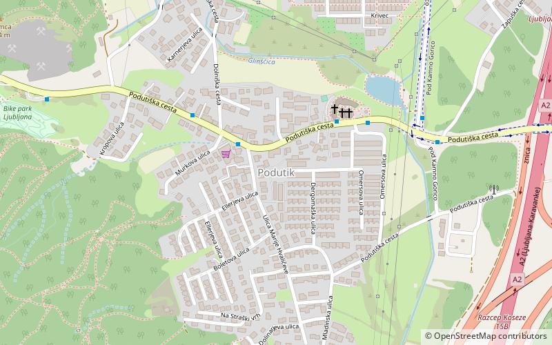
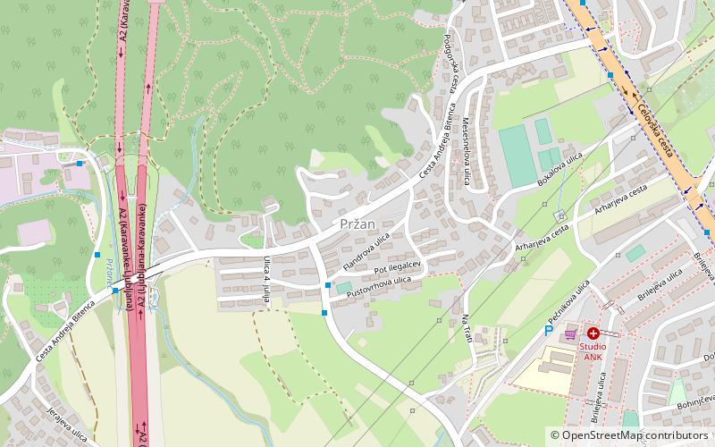
Map
Facts and practical information
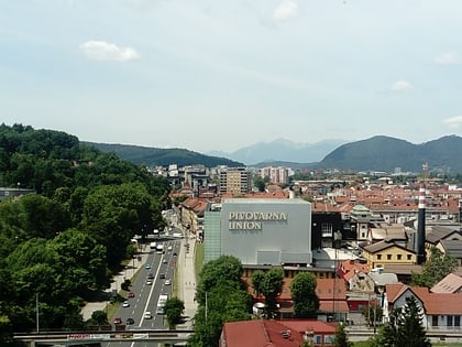
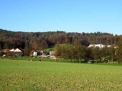
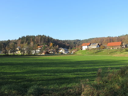
Podutik is a former settlement in central Slovenia in the northwest part of the capital Ljubljana. It belongs to the Dravlje District of the City Municipality of Ljubljana. It is part of the traditional region of Upper Carniola and is now included with the rest of the municipality in the Central Slovenia Statistical Region. ()
Coordinates: 46°4'23"N, 14°27'4"E
Address
Ljubljana
ContactAdd
Social media
Add
Day trips
Podutik – popular in the area (distance from the attraction)
Nearby attractions include: Ljubljana Zoo, Koseze Pond, Rožnik Hill, Kucja Valley.
Frequently Asked Questions (FAQ)
Which popular attractions are close to Podutik?
Nearby attractions include Kavšek Bridge, Ljubljana (6 min walk), Dolnice, Ljubljana (18 min walk), Kucja Valley, Ljubljana (21 min walk), Glinica, Ljubljana (22 min walk).
How to get to Podutik by public transport?
The nearest stations to Podutik:
Bus
Bus
- 804211 ~ Murkova • Lines: 23, 5, N5 (2 min walk)
- 804202 ~ Omersova • Lines: 23, 5, N5 (4 min walk)

