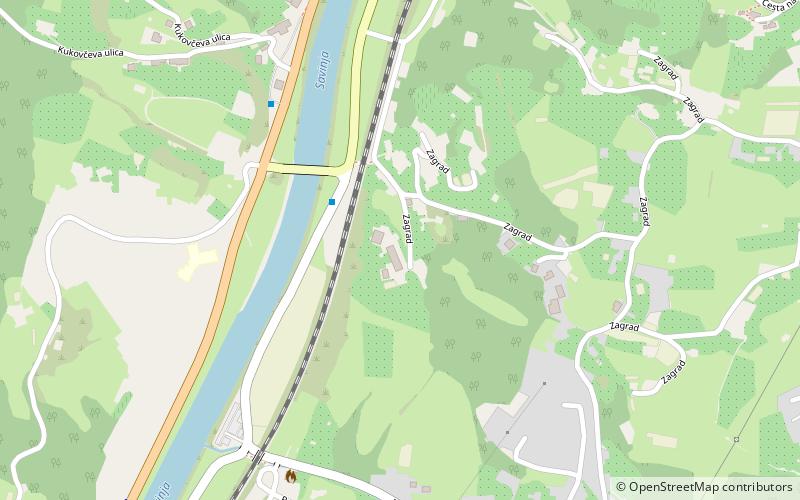
Pod Gradom, Celje
Map
Facts and practical information
Pod Gradom is a local community of the City Municipality of Celje in central-eastern Slovenia. ()
Coordinates: 46°12'55"N, 15°15'56"E
Address
Celje
ContactAdd
Social media
Add
Getting there by public transportation
Public transportation stops near this location
- Bus
- Train
 Bus
Bus
- Calculate routeCelje pod gradom most 3 min walk
- Calculate routePolule BS 6 min walk
- Calculate routeZagrad/Celju gost. 7 min walk
- Calculate routeCelje 24 min walk
Day trips


Frequently Asked Questions (FAQ)
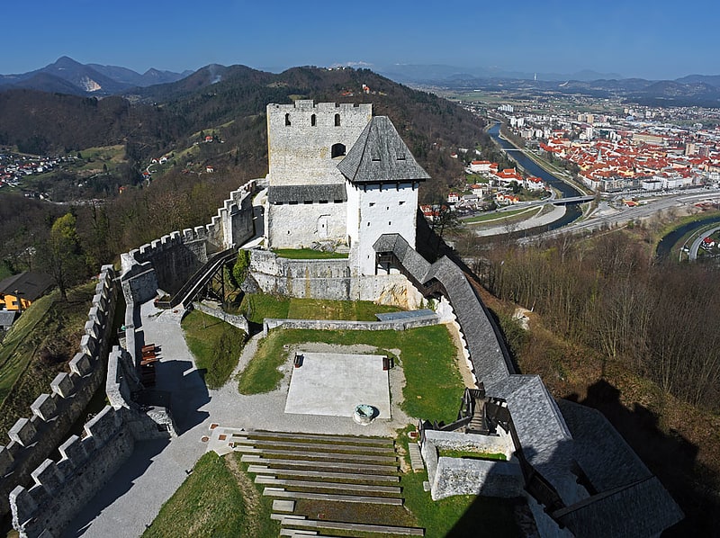
Which popular attractions are close to Pod Gradom?
Nearby attractions include Celje Castle, Celje (11 min walk), Celje Water Tower, Celje (20 min walk), Celje Cathedral, Celje (21 min walk), Pokrajinski muzej Celje, Celje (23 min walk).
How to get to Pod Gradom by public transport?
The nearest stations to Pod Gradom:
Bus
Train
Bus
- Celje pod gradom most • Lines: 6 (3 min walk)
- Polule BS • Lines: 6 (6 min walk)
Train
- Celje (24 min walk)