
Vanikoro Travel Guide
Facts and practical information
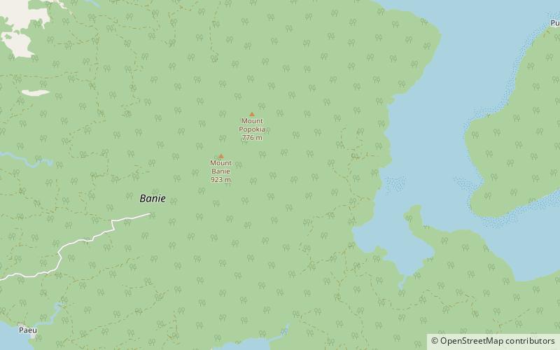
Located in the Temotu region of the Solomon Islands, Vanikoro is a hidden gem waiting to be explored by adventurous travelers. This remote island is known for its stunning natural beauty, pristine beaches, and rich cultural heritage.
One of the main attractions of Vanikoro is its beautiful beaches, which are perfect for sunbathing, swimming, and snorkeling. The crystal-clear waters are teeming with colorful marine life, making it a paradise for underwater enthusiasts. Visitors can also take a boat tour around the island to discover secluded coves and hidden lagoons, or simply relax on the sandy shores and enjoy the peaceful surroundings.
In addition to its natural beauty, Vanikoro is also rich in cultural heritage. The island is home to a vibrant community of locals who are proud to share their traditions and customs with visitors. Travelers can immerse themselves in the local culture by participating in traditional dance performances, learning about the island's history, and sampling authentic Solomon Islands cuisine.
For those interested in history and exploration, Vanikoro is also famous for being the final resting place of the French explorer Jean-François de Galaup, comte de Lapérouse. In 1788, Lapérouse's expedition ship, the Boussole, and the Astrolabe, sank off the coast of Vanikoro. Today, visitors can visit the Lapérouse Monument and learn about the fascinating story of the ill-fated expedition.
Temotu
Vanikoro Attractions - What to See and Explore
Vanikoro offers many attractions and places to visit. Here are the most important ones: Teanu language. Below you will find a complete list of places worth visiting.
Best Time To Visit Vanikoro
Learn when is the best time to travel to Vanikoro weather-wise and what to expect in each season.