
Garowe Travel Guide
| Due to the unstable situation and very high level of general risk, traveling to Somalia may be dangerous. Read more |
Facts and practical information
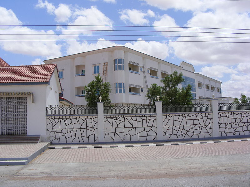
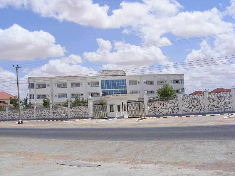
Garowe, the capital city of the Nugaal region in Somalia, is a vibrant and bustling destination that offers visitors a unique blend of cultural, historical, and natural attractions. Located in the northeastern part of the country, Garowe is known for its rich heritage and warm hospitality.
One of the must-see attractions in Garowe is the Old Mosques, which date back centuries and showcase the city's Islamic heritage. Visitors can explore the intricate architecture and learn about the significance of these ancient structures. The city is also home to the famous Garowe Hill, offering panoramic views of the surrounding landscape and a great spot for photography enthusiasts.
For those interested in history, the Puntland History Museum is a treasure trove of artifacts and exhibits that chronicle the region's past. From traditional crafts to archaeological finds, the museum provides a fascinating glimpse into Garowe's cultural heritage. Additionally, the Somali Cultural Center offers a deeper understanding of local customs and traditions through its interactive displays and educational programs.
Nature lovers will appreciate Garowe's proximity to the scenic Golis Mountains, where hiking and birdwatching opportunities abound. The lush landscapes and diverse wildlife make it a perfect destination for outdoor enthusiasts. Nearby, the Nugaal Valley provides a picturesque setting for leisurely walks and picnics, surrounded by breathtaking natural beauty.
Garowe's bustling markets and lively streets are perfect for immersing oneself in the local atmosphere, where visitors can sample traditional cuisine and shop for handmade crafts and souvenirs. The city's vibrant energy and welcoming locals create an unforgettable experience for travelers seeking an authentic Somali adventure.
Nugaal
Best Time To Visit Garowe
Learn when is the best time to travel to Garowe weather-wise and what to expect in each season.