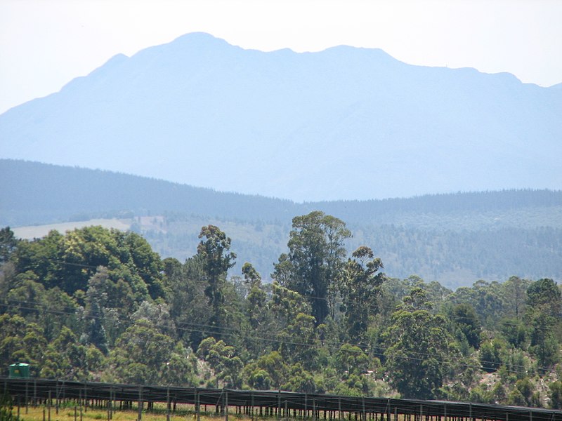
Langkloof Mountains, Garden Route National Park

Gallery (2)
Map
Map
Gallery
Facts and practical information
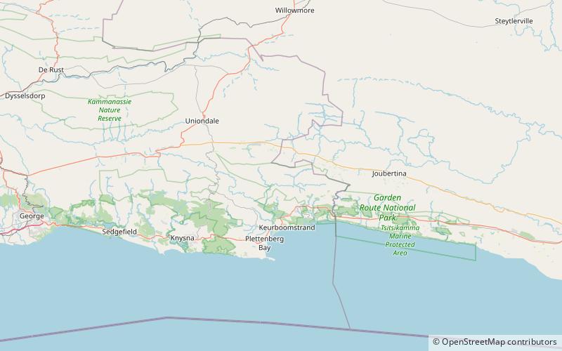
The Langkloof Mountains are a short mountain range within the Cape Fold Belt in the Western Cape of South Africa. They form a link between the Outeniqua and Tsitsikamma mountains to the north of Plettenberg Bay in the Garden Route region. They stretch from Prince Alfred's Pass in the west to just north of Nature's Valley and south of Joubertina. ()
Coordinates: 33°49'60"S, 23°25'60"E
Address
Garden Route National Park
ContactAdd
Social media
Add