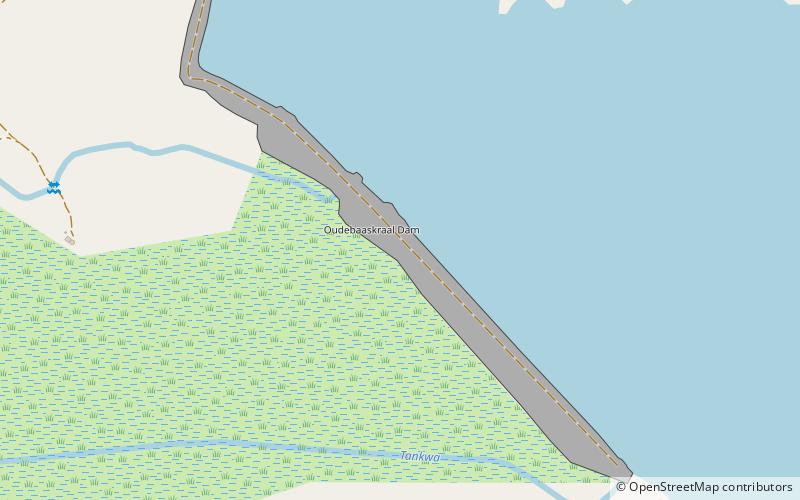
Oudebaaskraal Dam, Tankwa Karoo National Park

Map
Facts and practical information
Oudebaaskraal Dam is an earth-fill type dam located on the Tankwa River near Ceres, Western Cape, South Africa. It was established in 1969 and serves mainly for irrigation purposes. The hazard potential of the dam has been ranked significant. ()
Opened: 1969 (57 years ago)Length: 3937 ftHeight: 69 ftCoordinates: 32°23'32"S, 19°53'37"E
Address
Tankwa Karoo National Park
ContactAdd
Social media
Add