Du Toit's Pan, Kimberley
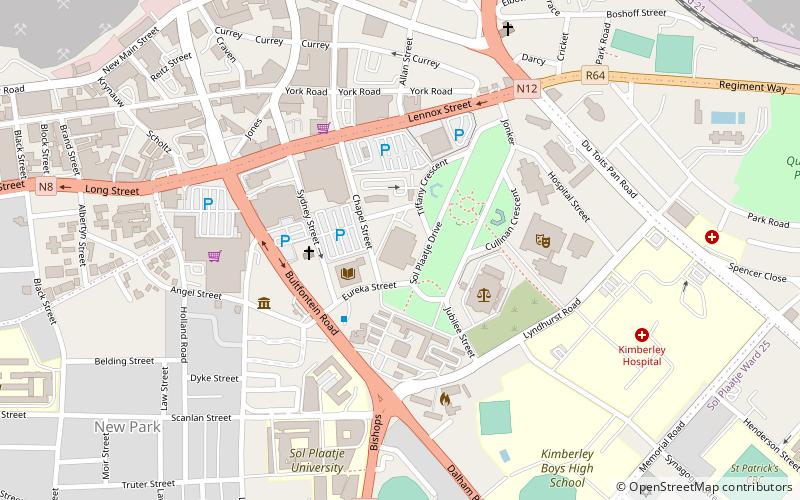
Map
Facts and practical information
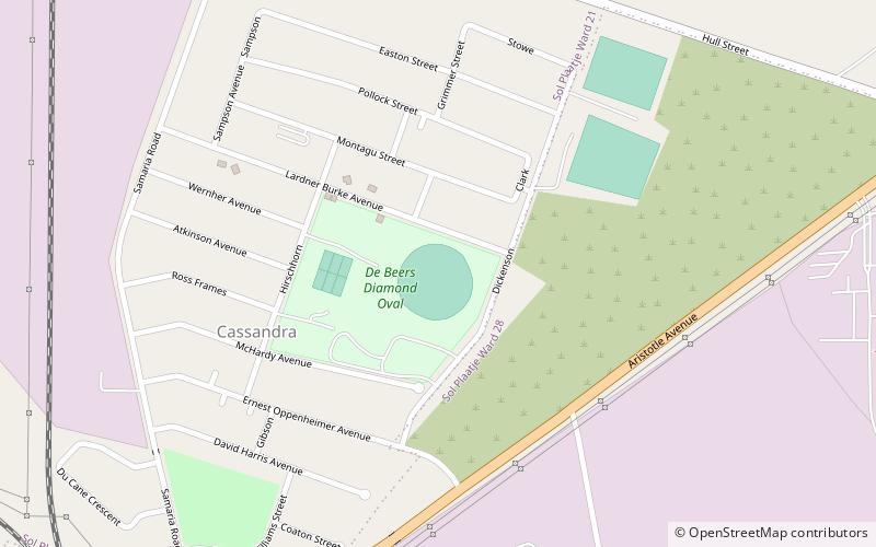
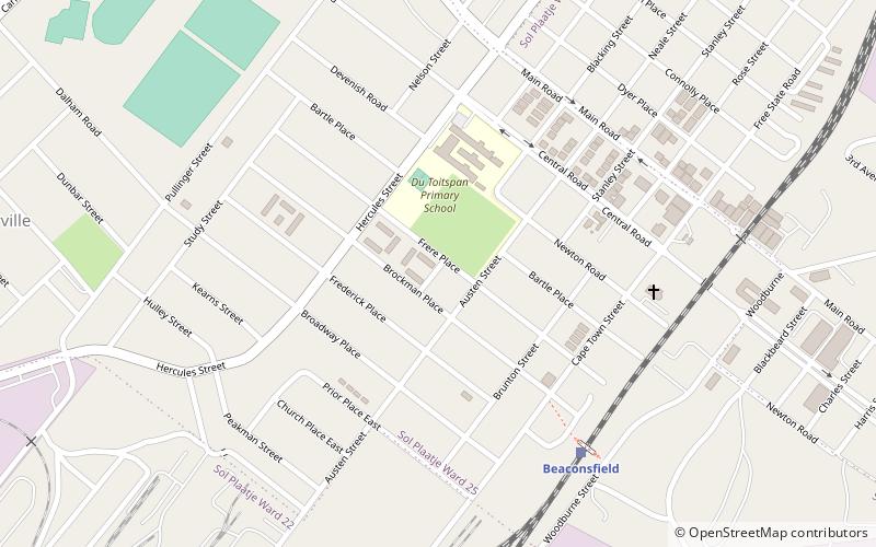
Du Toit's Pan, now usually Dutoitspan, refers to one of the earliest diamond mining camps at what is now Kimberley, South Africa. It was renamed Beaconsfield, which existed as a separate borough from Kimberley itself until Kimberley and Beaconsfield were amalgamated as the City of Kimberley in 1912. ()
Local name: DutoitspanCoordinates: 28°45'32"S, 24°46'52"E
Address
Kimberley
ContactAdd
Social media
Add
Day trips
Du Toit's Pan – popular in the area (distance from the attraction)
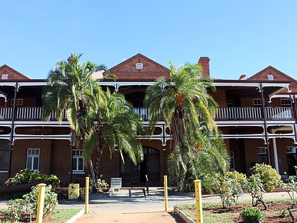
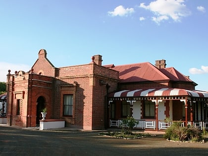
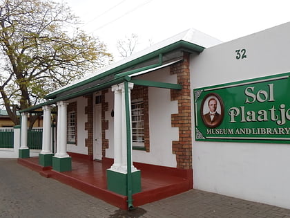
Nearby attractions include: McGregor Museum, William Humphreys Art Gallery, Duggan-Cronin Gallery, Honoured Dead Memorial.
Frequently Asked Questions (FAQ)
Which popular attractions are close to Du Toit's Pan?
Nearby attractions include McGregor Museum, Kimberley (17 min walk), Duggan-Cronin Gallery, Kimberley (20 min walk), Honoured Dead Memorial, Kimberley (23 min walk).
