Jan Smuts Avenue, Johannesburg
Map
Map

Facts and practical information
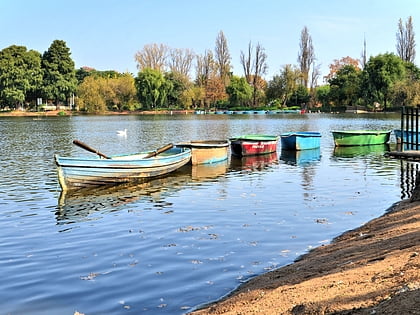
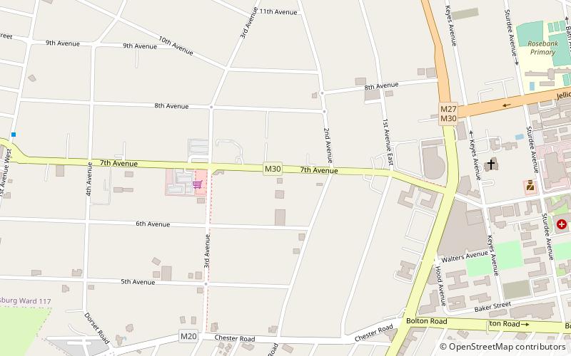
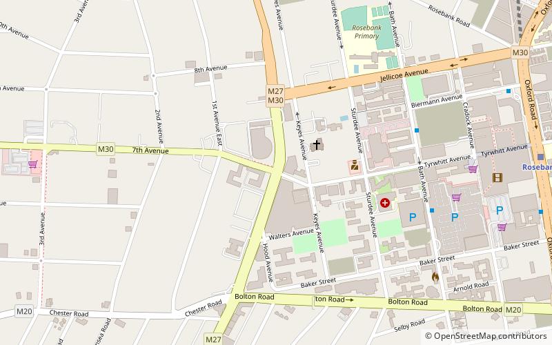
Jan Smuts Avenue is a major street in Johannesburg, South Africa. It begins in Randburg, and passes through important business areas like Rosebank. It passes the Johannesburg Zoo, Zoo Lake and Wits University before becoming Bertha Street, and the Nelson Mandela Bridge near the Johannesburg CBD. It has been described as "the most important road for a tourist" in Johannesburg. It forms part of Johannesburg's M27 route. ()
Coordinates: 26°8'44"S, 28°2'9"E
Address
Johannesburg
ContactAdd
Social media
Add
Day trips
Jan Smuts Avenue – popular in the area (distance from the attraction)
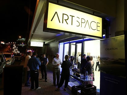
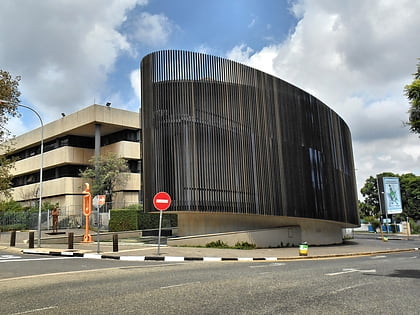
Nearby attractions include: Rosebank, Zoo Lake, South African National Museum of Military History, Gallery MOMO.
Frequently Asked Questions (FAQ)
Which popular attractions are close to Jan Smuts Avenue?
Nearby attractions include Res, Johannesburg (8 min walk), Gallery MOMO, Johannesburg (8 min walk), Kim Sacks Gallery, Johannesburg (10 min walk), Rosebank, Johannesburg (10 min walk).
How to get to Jan Smuts Avenue by public transport?
The nearest stations to Jan Smuts Avenue:
Train
Bus
Train
- Rosebank (14 min walk)
Bus
- Gautrain Rosebank Bus Terminus (14 min walk)
