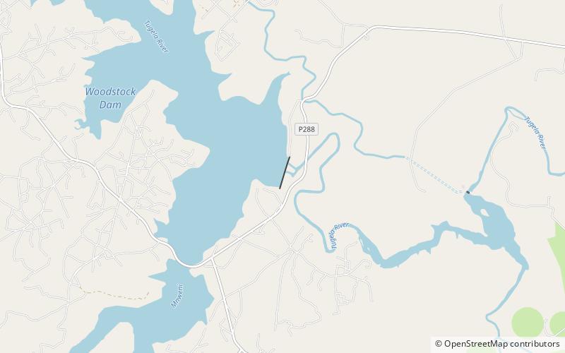
Woodstock Dam
Map

Map

Facts and practical information
Woodstock Dam is located on the upper reaches of the Tugela, KwaZulu-Natal province of South Africa and is the main source of water for the Thukela-Vaal Transfer Scheme. The dam was commissioned in 1982, has a storage capacity of 373.26 million cubic metres, and a surface area of 29.129 square kilometres, the dam wall is 54 metres high. The dam serves mainly for municipal and industrial water supply purposes and its hazard potential has been ranked high. ()
Local name: WoodstockdamOpened: 1982 (44 years ago)Length: 2838 ftHeight: 177 ftReservoir area: 11.26 mi²Coordinates: 28°45'36"S, 29°14'45"E
Location
KwaZulu-Natal
ContactAdd
Social media
Add
