Hottentots Holland Mountains, Cape Floristic Region

Gallery (1)
Map
Map
Facts and practical information
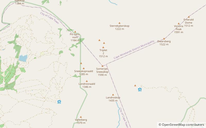
The Hottentots Holland Mountains are part of the Cape Fold Belt in the Western Cape, South Africa. The mountain range forms a barrier between the Cape Town metropolitan area and the southern Overberg coast. ()
Local name: Hottentots-Hollandberge Area: 270.27 mi²Maximum elevation: 5217 ftCoordinates: 34°2'6"S, 18°59'6"E
Address
Cape Floristic Region
ContactAdd
Social media
Add
Day trips

