Amafa aKwaZulu-Natali

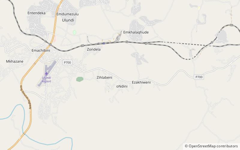
Map
Facts and practical information
Amafa aKwaZulu-Natali, commonly known as 'Amafa', is a provincial heritage resources authority in terms of South Africa's National Heritage Resources Act. It was established in 1997 in terms of the KwaZulu-Natal Heritage Act of that year and is an agency of the Office of the Premier of the government of the KwaZulu-Natal Province of South Africa. It is also a 'public entity' under the terms of the Public Finance Management Act. It is mandated to care for that part of South Africa's national estate that is of provincial and local significance in KwaZulu-Natal. ()
Coordinates: 28°19'11"S, 31°27'33"E
Day trips
Amafa aKwaZulu-Natali – popular in the area (distance from the attraction)
Nearby attractions include: Ulundi Stadium, Ulundi.

