Mogale City Local Municipality, Cradle of Humankind
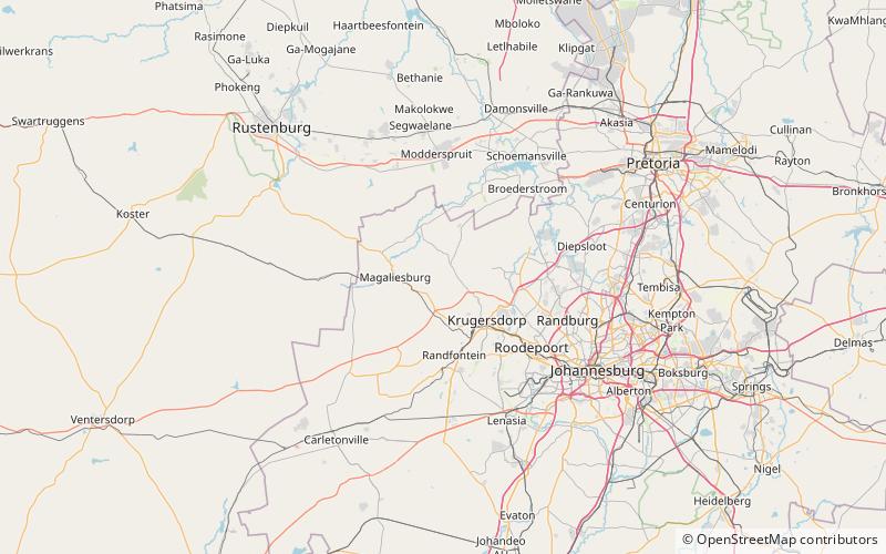
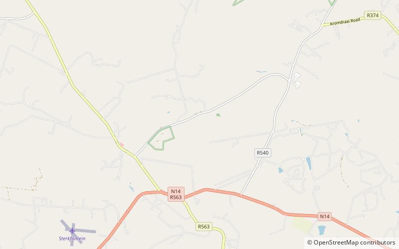
Map
Facts and practical information
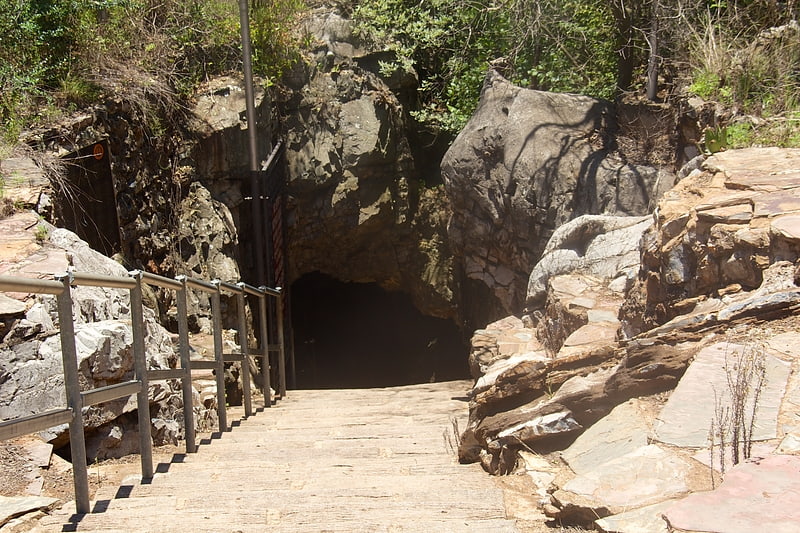
Mogale City Local Municipality is a local municipality in West Rand District Municipality, Gauteng, in South Africa. ()
Day trips
Mogale City Local Municipality is a local municipality in West Rand District Municipality, Gauteng, in South Africa. ()
Where to next? Visit ![]() Gauteng region page or discover the top tourist attractions in South Africa.
Gauteng region page or discover the top tourist attractions in South Africa.