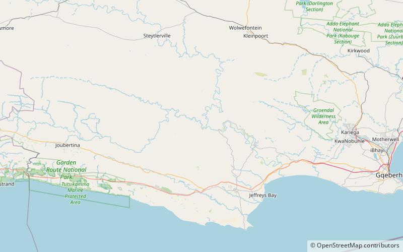
Kouga Dam, Cape Floristic Region
Map

Map

Facts and practical information
The Kouga Dam is an arch dam on the Kouga River about 21 km west of Patensie in Kouga Local Municipality, South Africa. It supplies irrigation water to the Kouga and Gamtoos valleys as well as drinking water to the Port Elizabeth metropolitan area via the Loerie Balancing Dam. It was constructed between 1957 and 1969. ()
Local name: Kougadam Opened: 1969 (57 years ago)Length: 663 ftHeight: 310 ftReservoir area: 2.14 mi²Coordinates: 33°44'27"S, 24°35'15"E
Address
Cape Floristic Region
ContactAdd
Social media
Add
