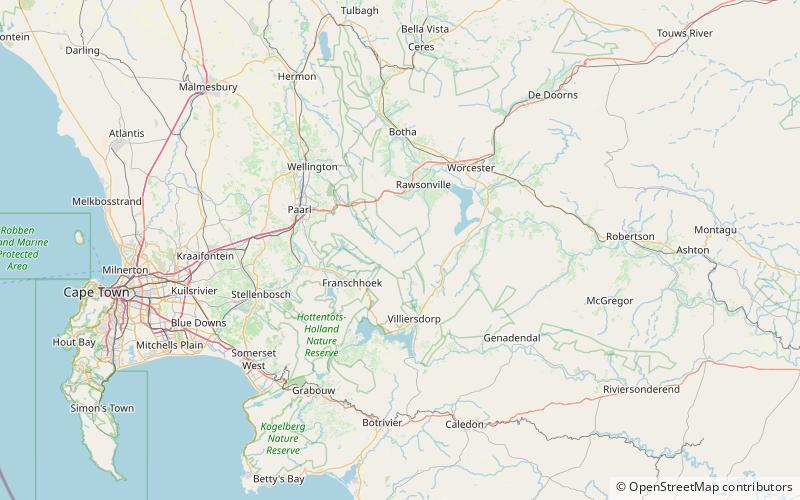
Stettynskloof Dam, Cape Floristic Region

Map
Facts and practical information
Stettynskloof Dam is a combined earth-fill/rock-fill type dam located on the Stettynskloof River in South Africa. It serves mainly for municipal and industrial use and its hazard potential has been ranked high. ()
Local name: StettynskloofdamOpened: 1981 (45 years ago)Length: 820 ftHeight: 157 ftCoordinates: 33°49'60"S, 19°15'5"E
Address
Cape Floristic Region
ContactAdd
Social media
Add
Day trips
Stettynskloof Dam – popular in the area (distance from the attraction)
Nearby attractions include: Du Toits Peak.
