Windsor Dam
Map

Map

Facts and practical information
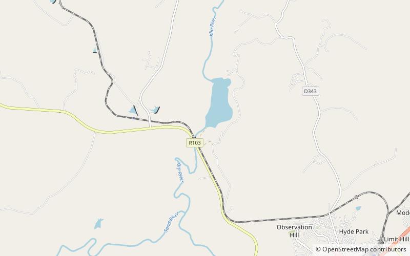
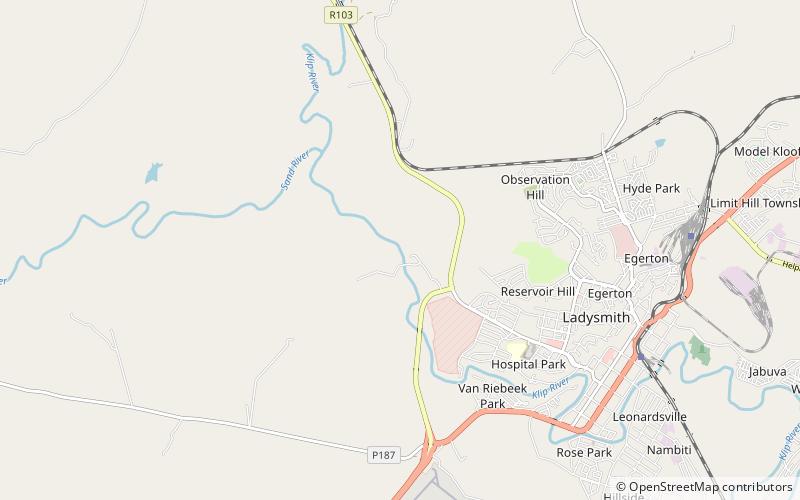
Windsor Dam was originally built to control flooding of Ladysmith, in KwaZulu-Natal by the Klip River, but silt buildup quickly reduced its efficiency. The Windsor Dam was commissioned in 1950, has a capacity of 772 cubic metres, and a surface area of 0.826 square kilometres, the dam wall is 17 metres high. ()
Local name: WindsordamOpened: 1949 (77 years ago)Coordinates: 28°30'7"S, 29°44'17"E
Location
KwaZulu-Natal
ContactAdd
Social media
Add
Day trips
Windsor Dam – popular in the area (distance from the attraction)
Nearby attractions include: Ladysmith Siege Museum, Qedusizi Dam.


