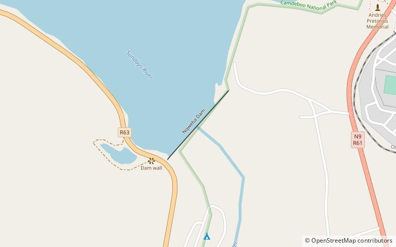
Nqweba Dam, Graaff-Reinet

Map
Facts and practical information
Nqweba Dam, is an earth-fill type dam located on the Sundays River, near Graaff Reinet, in the Eastern Cape, South Africa. It was established in 1925. The dam has a capacity of 46,369,000 cubic metres, and a surface area of 10.285 square kilometres, the wall is 46 metres, and is 357 metres long. Once an irrigation dam, it now mainly serves to supply potable water for domestic and industrial use to the residents and businesses of Graaff-Reinet. Its hazard potential has been ranked high. ()
Local name: Nqweba-damOpened: 1925 (101 years ago)Length: 1171 ftHeight: 151 ftCoordinates: 32°14'7"S, 24°31'42"E
Day trips
Nqweba Dam – popular in the area (distance from the attraction)
Nearby attractions include: Graaff - Reinet, Graaff-Reinet Museum, Camdeboo National Park.


